
Know Minnamurra before you go
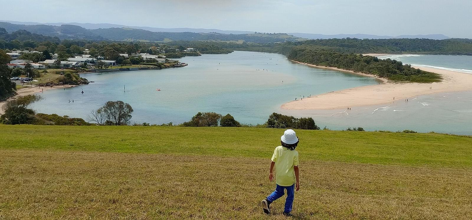
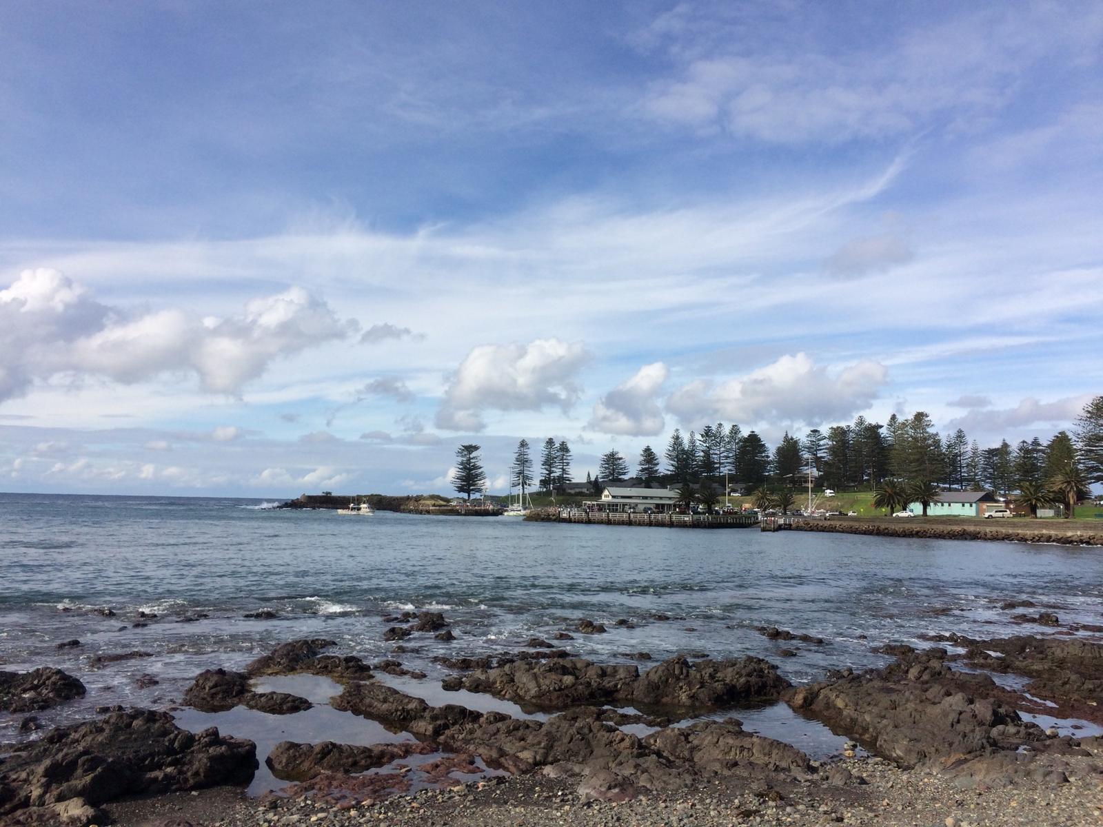
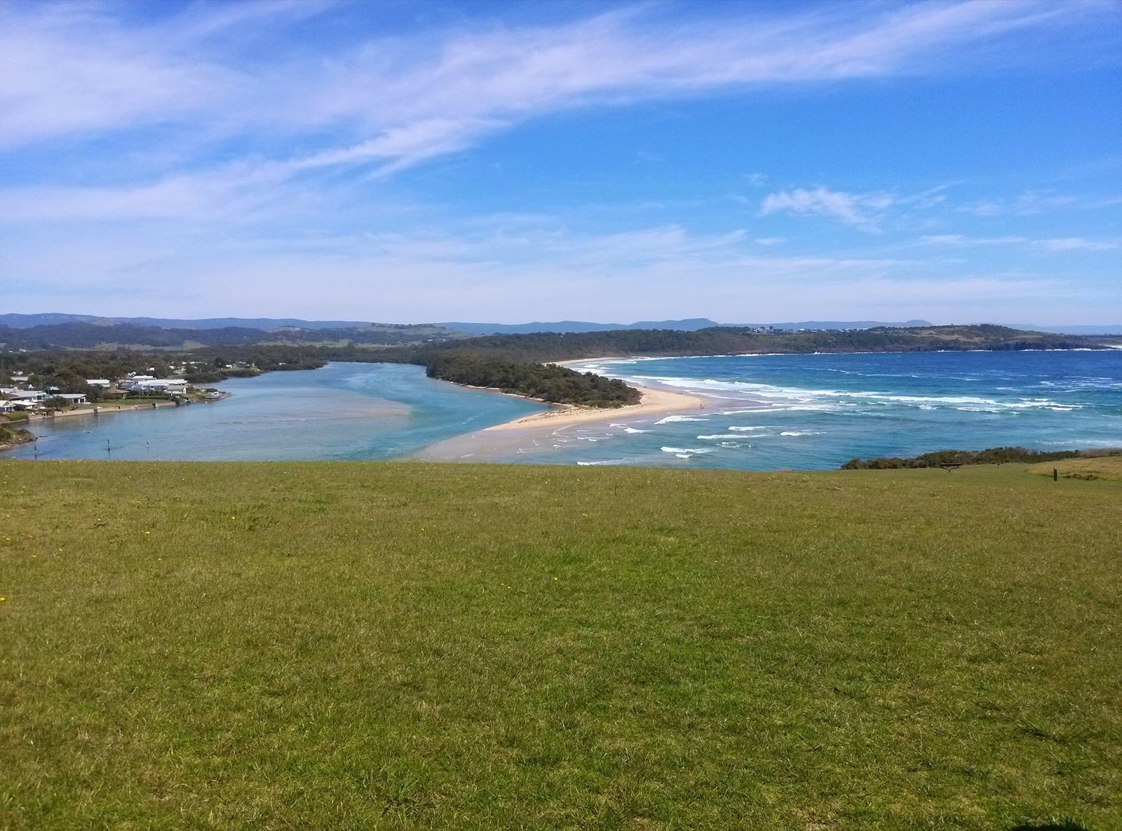
Minnamurra sits where the Minnamurra River meets the sea, on the northern border of the Kiama municipality. Destination Kiama describes the river as a safe swimming spot with sandy shores and a tidal personality, used by kayakers and paddle boarders. The village has two riverside reserves with boat ramps, a playground, a railway station and a grassy headland.
The name is said to mean "plenty of fish" in the local Aboriginal language. Shell middens and stone tools at the river mouth show it was a gathering place for the Dharawal people, according to Destination Kiama.
- Where: Minnamurra NSW 2533, between Kiama Downs and the river, with Killalea across the water to the north
- From Kiama Ridge Waters: about 11 minutes by car (8.6 km) to the river mouth
- Train: Minnamurra station on North Street, on the same South Coast Line as Kiama
- Good for: calm-water swims, kayaking, paddle boarding, fishing, picnics, whale watching and the Coast Walk
- Visitor information: Kiama Visitor Information Centre, 1300 654 262
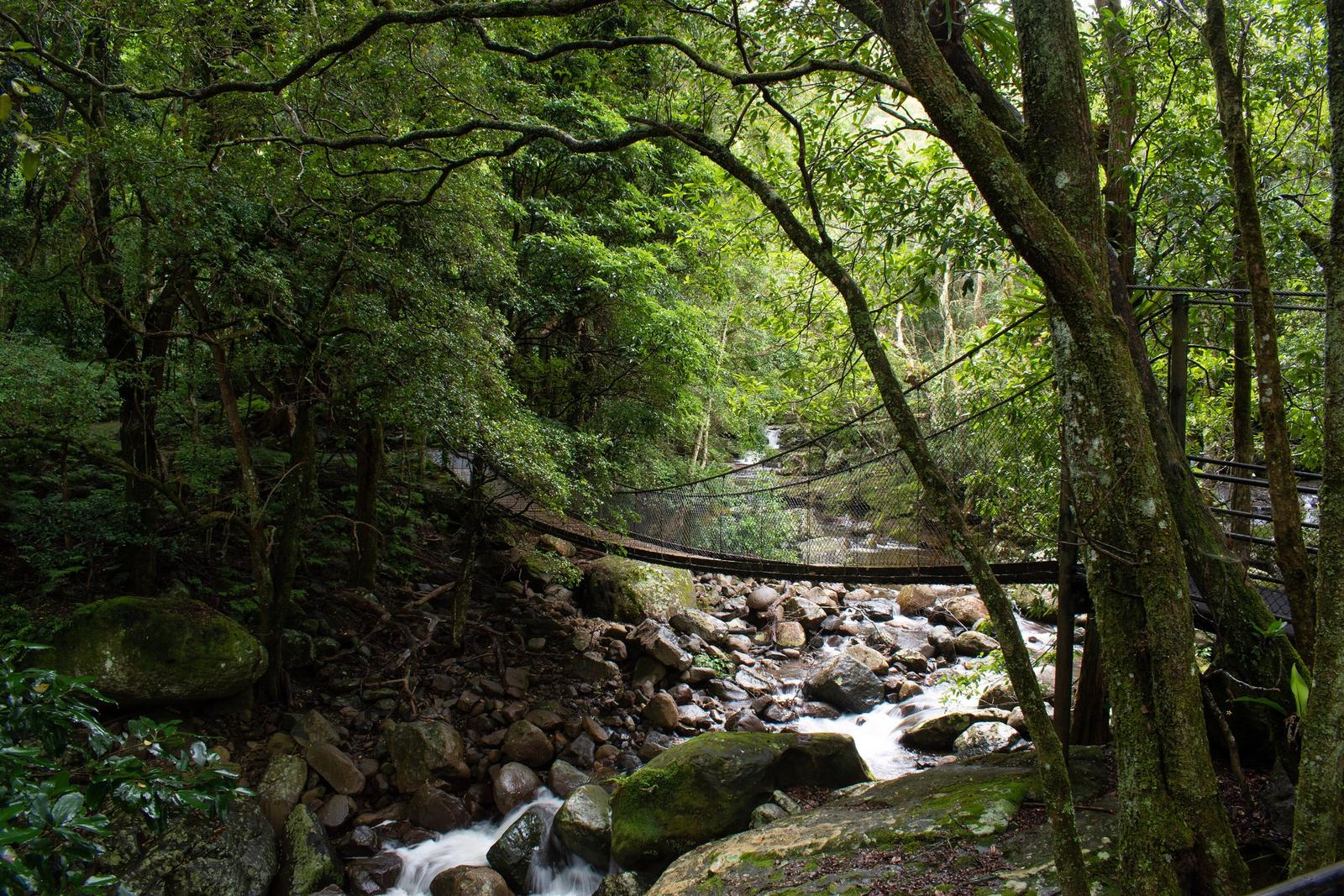
The name catches visitors out, because the Minnamurra Rainforest and Minnamurra Falls are not in the village. They are upstream in Budderoo National Park near Jamberoo, about 25 minutes' drive from the apartments. More on that below.
Swim and paddle in the Minnamurra River
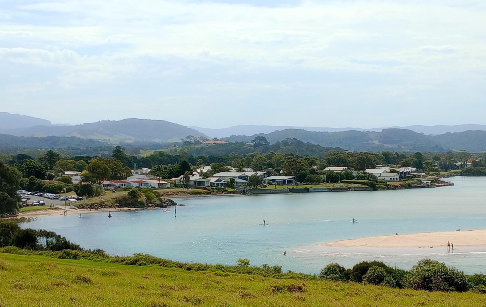
The river is the reason most people come. Destination Kiama and Visit NSW both list kayaking, swimming and paddle boarding here, with grassy hills nearby for a picnic afterwards. The water is sheltered from the surf, which makes it an easy swim for children.
The easiest place to start is James Oates Reserve at the river mouth, opposite 155 Charles Avenue. Kiama Council lists a small launch ramp there for kayaks, paddle boards and small boats, with access to a popular swimming spot. The reserve has ample parking, an accessible toilet, showers, barbecues, undercover picnic tables and a playground, so it works well for a family day.
Keep away from the river mouth itself when you swim. BeachSafe warns that strong river and tidal flows and a deep channel there are a hazard. The river is not patrolled, so watch children closely and check the tide before you paddle out, as it is harder work coming back against a run-out tide.
Minnamurra itself has no kayak or paddle board hire business, so bring your own or ask the Kiama Visitor Information Centre who is hiring this season.
James Oates Reserve
Minnamurra
Riverside reserve at the Minnamurra River mouth with a small launch ramp for kayaks, paddle boards and small boats, plus parking, an accessible toilet, showers, barbecues and a playground. About 11 minutes' drive from the apartments.
WebsiteGoogle MapsDirections: Google Maps · Waze
Launch a boat from Trevethan Reserve
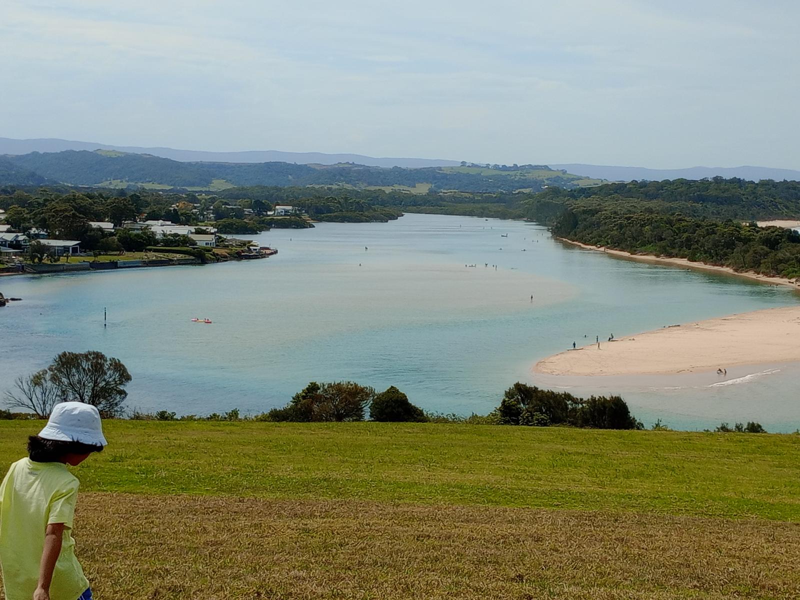
Further upstream, Trevethan Reserve has the biggest boat ramp on the Minnamurra River. Kiama Council describes it as a one-lane ramp off Riverside Drive, just south of Minnamurra Bridge, suited to launching a boat for fishing and also good for kayaks and paddle boards. There are picnic tables, some undercover, and amenities.
The reserve is also home to the "From source to sea" heritage plaque, part of a series Kiama Council commissioned in 2009. It explains that the river rises in the creeks and bogs of Knights Hill near Robertson, then runs through the Minnamurra Rainforest and the Jamberoo Valley to the sea. Its catchment covers almost half the Kiama municipality. The plaque notes that the estuary holds the largest area of mangrove forest between the Georges River and the Shoalhaven River, along with Swamp Oak and coastal saltmarsh, an endangered ecological community in NSW.
Before you head out on the water, log on with Marine Rescue NSW and check the tide.
Trevethan Reserve Boat Ramp
Minnamurra
The largest ramp on the Minnamurra River, one lane wide, off Riverside Drive just south of Minnamurra Bridge. Suits boats, kayaks and paddle boards, with picnic tables and amenities. About 12 minutes' drive from the apartments.
WebsiteGoogle MapsDirections: Google Maps · Waze
Fish the estuary and the river mouth
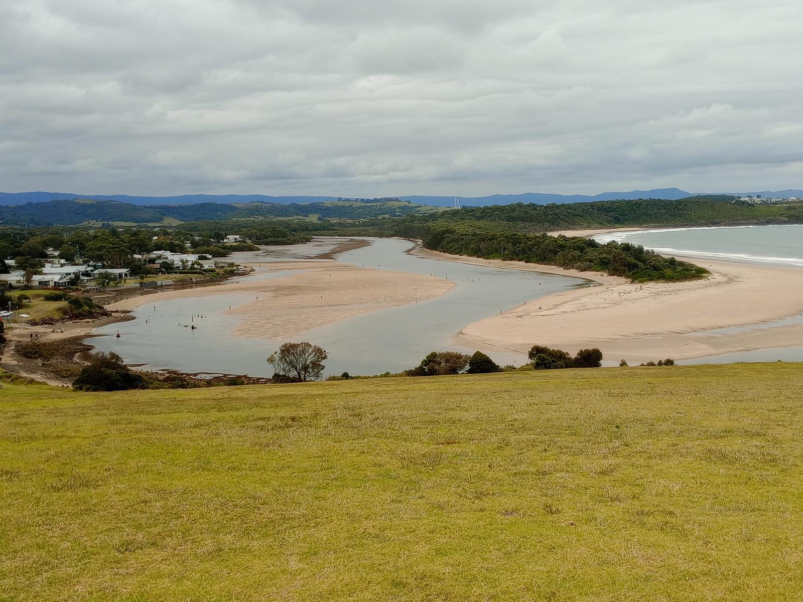
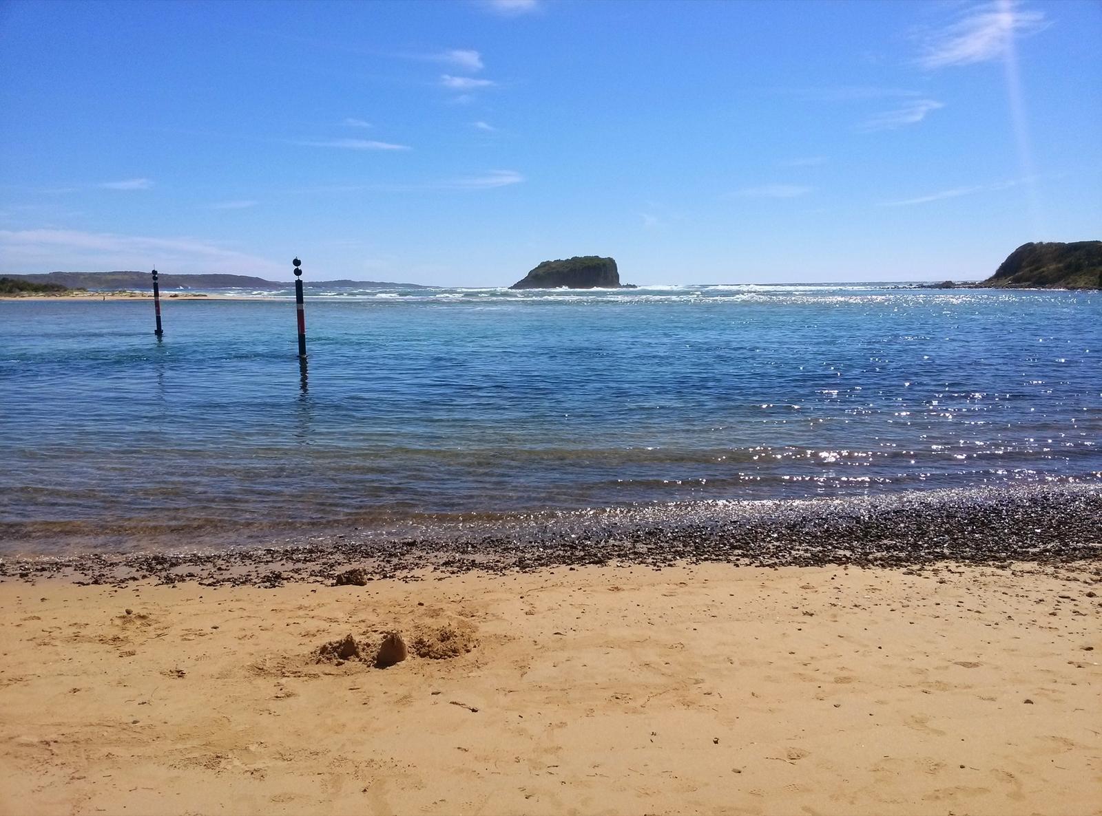
Destination Kiama lists fishing and boating on the Minnamurra River among the main things to do in the village, and BeachSafe names the river mouth and Stack Island as the places to fish on this stretch of coast. The calm estuary suits families and anyone new to fishing.
You need a NSW recreational fishing licence. Stay off the rock platforms on Minnamurra Headland when the swell is up. Our Kiama fishing guide covers licence costs, rock safety and the other boat ramps in the area.
Walk up Minnamurra Headland for the view
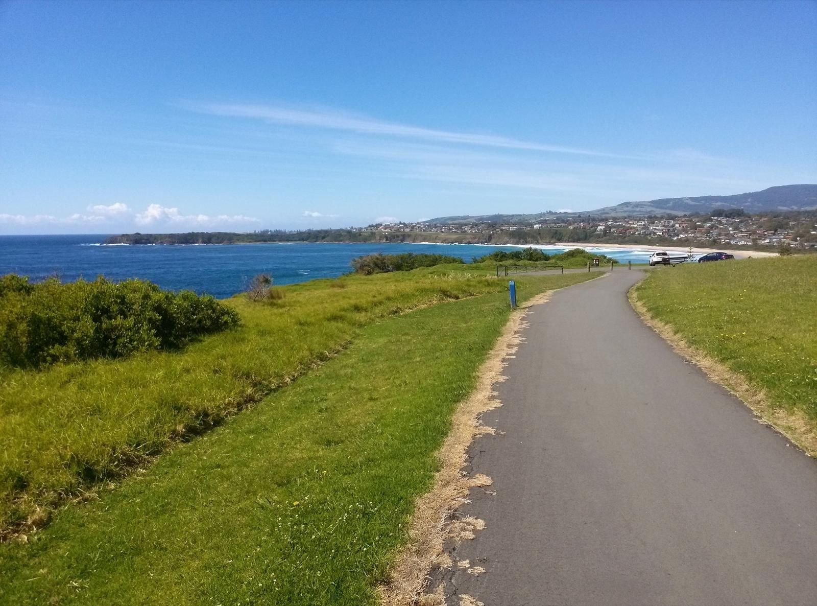
Minnamurra Headland, off Eureka Avenue, is a short climb to a grassy lookout over the river mouth, the village and the Kiama Golf Club. Out to sea is Stack Island, also called Rangoon Island. Destination Kiama says it was named after an 1870 shipwreck, the barque Rangoon, which ran onto its rocks.
The Kiama Coast Walk curves around the edge of the headland, and Destination Kiama suggests cycling as a relaxed way to explore it. There is a car park, and the Destination Kiama listing says the headland actively welcomes people with access needs. Bring a picnic rug for the grass.
Minnamurra Headland
Minnamurra
Grassy headland off Eureka Avenue with views over the river mouth, Stack Island and the coast. The Kiama Coast Walk circles it and there is a car park. About 11 minutes' drive from the apartments.
WebsiteGoogle MapsDirections: Google Maps · Waze
Watch for whales from the headland platform
The Minnamurra Whale Watching Platform is a free, elevated platform on the headland beside the walking track and cycleway to Kiama. A board on the platform helps you tell humpback, killer, blue and southern right whales apart. Destination Kiama says humpbacks travel north from late May to July and come back south, often with calves, from September to November.
The NSW Government listing says the platform itself does not cater for people with access needs. Our whale watching guide compares it with the five other free lookouts between here and Gerroa.
Minnamurra Whale Watching Platform
Minnamurra
Free elevated platform on Minnamurra Headland beside the walking track to Kiama, with a whale identification board. Whales pass from late May to July and September to November.
WebsiteGoogle MapsDirections: Google Maps · Waze
Start the Kiama Coast Walk at Minnamurra
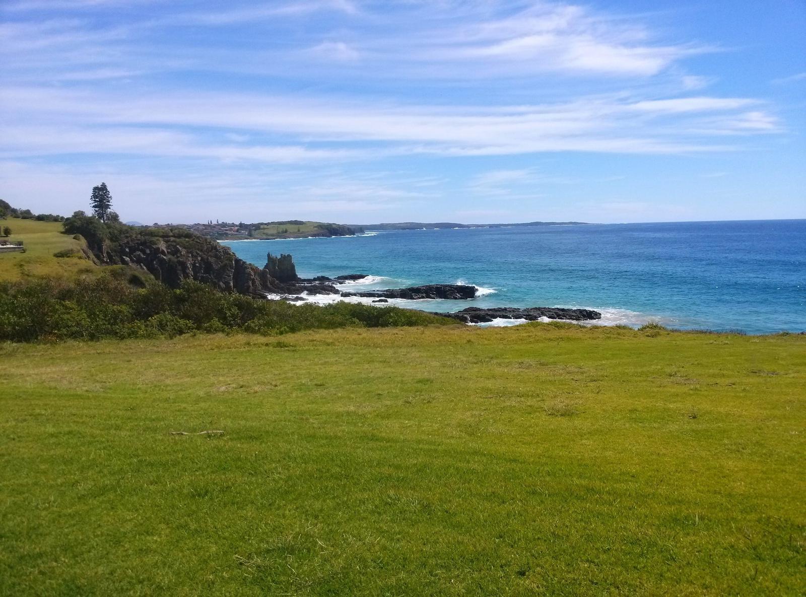
Minnamurra is the northern start of the Kiama Coast Walk, which runs about 20 km south to Werri Beach at Gerringong. The North Section, from Minnamurra to the Kiama Blowhole, is 8.5 km and takes about 3 hours. Destination Kiama grades it medium.
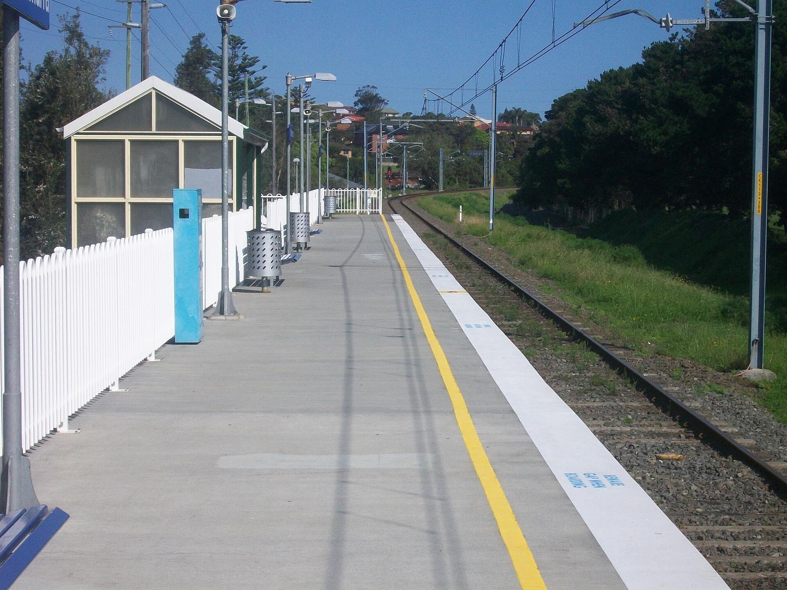
Start at Minnamurra station, where there is a Coast Walk map board, then head to James Oates Reserve and the river mouth. From the headland the track runs south past Jones Beach and Cathedral Rocks, over Bombo Headland with its basalt columns, along Bombo Beach and up into Kiama. Free water refill stations sit along the route, so carry a bottle.
From the apartments, the simple plan is to take the train or a taxi to Minnamurra and walk south. You finish in town, about a 27-minute walk from home, or 35 minutes from the Blowhole. Our Kiama Coast Walk guide covers every section, and Cathedral Rocks and Bombo have their own pages.
Find Mystics on the far side of the river
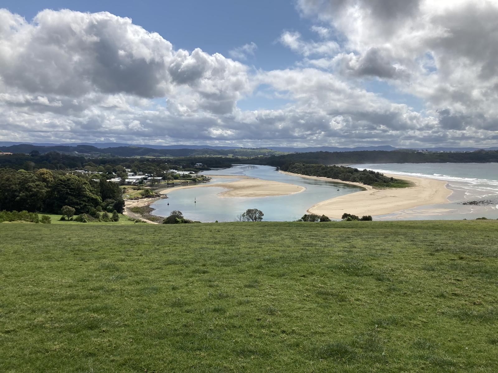
Look north from the headland and you see Minnamurra Beach, which locals call Mystics. It is a 1.5 km sand spit running from a rocky headland down to the river mouth, with the estuary behind it. Destination Kiama says it is a favourite with locals, and day visitors come for the scenery, surfing, barbecues and picnics.
You can't walk there from the village. BeachSafe explains that the river blocks access from Minnamurra, and the only land access is through Killalea, to a car park on the slopes above the northern end. That makes it one of the more natural beaches in the region.
It is unpatrolled and BeachSafe rates it 6 out of 10 for hazard. Swimming is safer towards the south where rips are less frequent, but not at the river mouth because of the flows and deep channel. Rips increase further up the beach, and BeachSafe lists sharks and bluebottles as hazards.
For surfers, BeachSafe says the reef below the car park at the north end, called Mystics, produces a good left, and the river mouth bars can hold good waves in bigger swell. Destination Kiama notes the beach is part of the National Surfing Reserve at Killalea. See our Kiama surf guide for more breaks.
Swim between the flags at Jones Beach
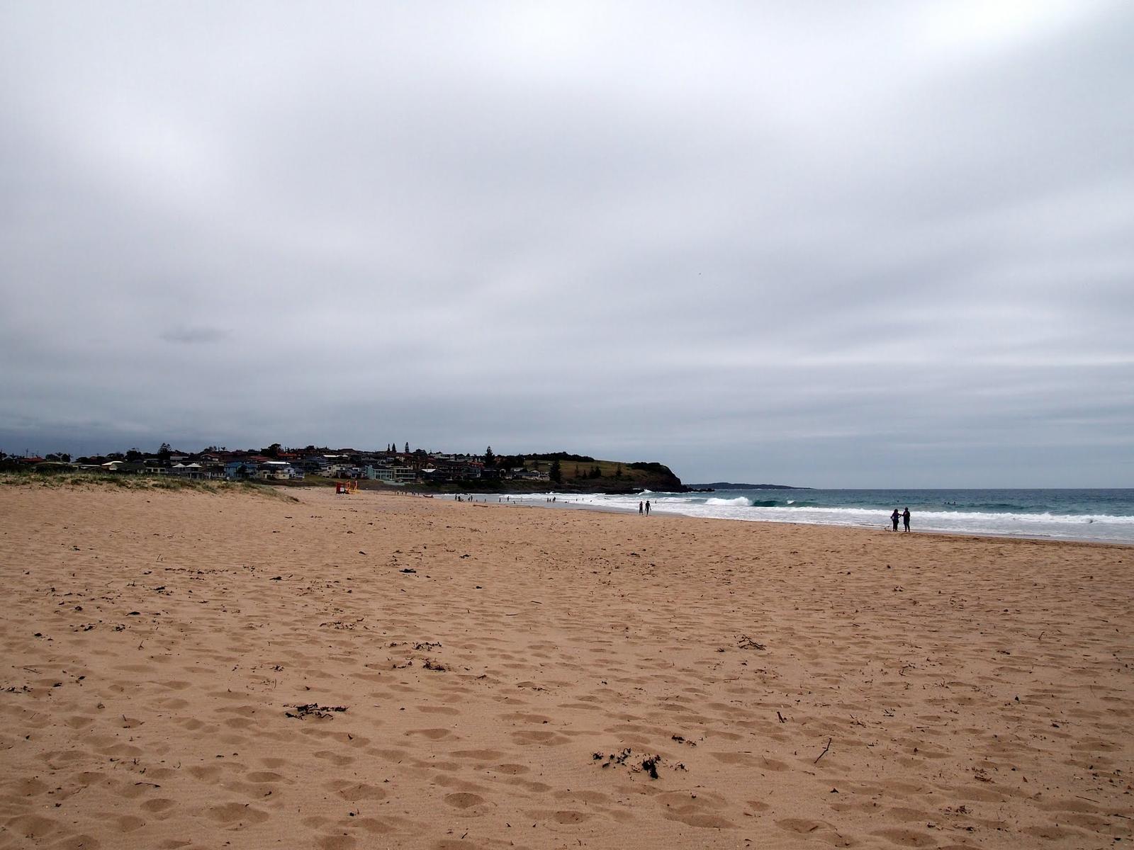
For a patrolled ocean swim, Jones Beach at Kiama Downs is just south of Minnamurra Headland, about 9 minutes' drive from the apartments. BeachSafe describes it as a 900 m east-facing beach between Minnamurra Point and Cathedral Rocks, with waves averaging 1 to 1.5 m and permanent rips against each headland. It rates 7 out of 10 for hazard, so stay in the north end in the patrolled area.
Kiama Council's 2026 to 2027 timetable lists volunteer patrols by Kiama Downs SLSC on weekends and public holidays from 26 September to 25 April, plus Monday to Friday patrols from 21 December to 29 January. Check before you go, as dates can change. BeachSafe lists toilets, showers, change rooms, a playground, picnic areas and barbecues.
Kiama Council lists the southern end of Jones Beach as an off-leash dog area from sunrise to sunset. Enter and leave only by the beach access track directly behind 118 North Kiama Drive, and keep dogs on a lead on the track. Our Kiama Downs guide and Kiama beaches guide have more.
Kiama Downs Surf Life Saving Club
Kiama Downs
The volunteer club that patrols Jones Beach on weekends and public holidays in the warmer months. Swim at the north end between the flags.
WebsiteGoogle MapsDirections: Google Maps · Waze
Play a round beside the river
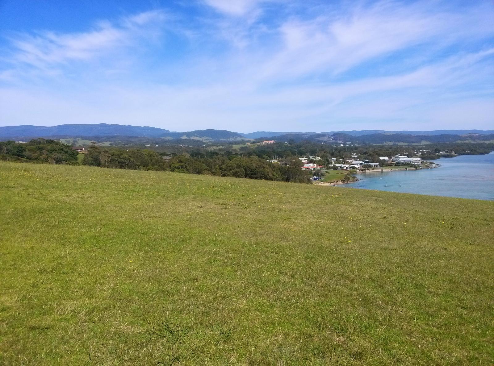
Kiama Golf Club sits on the banks of the Minnamurra River at 79 to 81 Oxley Avenue, Kiama Downs. The club says it is open to members and visitors all year round. Its clubhouse cafe and bistro serves coffee daily from 6:30am, with breakfast, lunch and dinner, which makes it a handy stop if you have spent the morning on the water. Hours change, so check before you go, or see our Kiama golf guide.
Kiama Golf Club
Kiama Downs
Golf course on the banks of the Minnamurra River, open to visitors year round, with a clubhouse cafe and bistro. Phone (02) 4237 7300.
WebsiteGoogle MapsDirections: Google Maps · Waze
Go upstream to the Minnamurra Rainforest
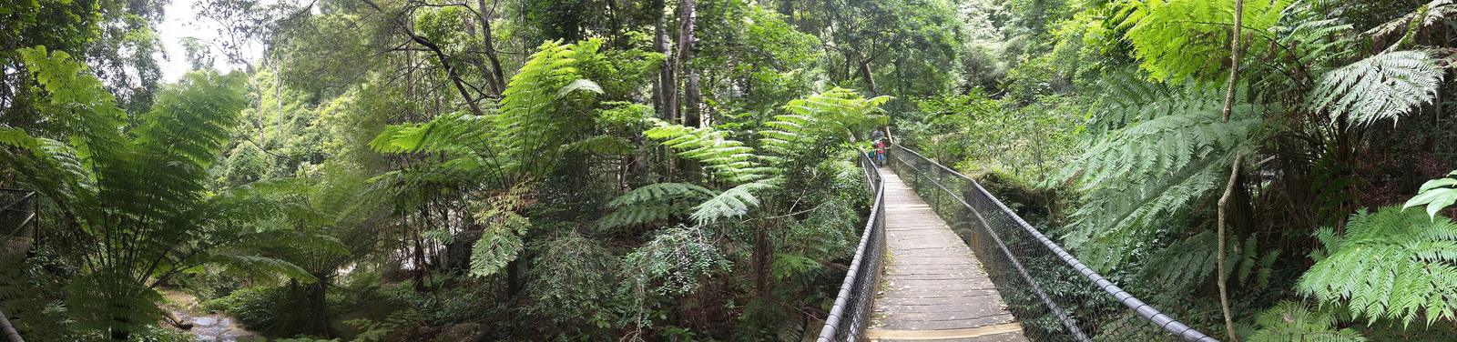
The Minnamurra Rainforest Centre is at 345 Minnamurra Falls Road, Jamberoo, inside Budderoo National Park. It is about 25 minutes' drive (18 km) from Kiama Ridge Waters, not in Minnamurra village. NSW National Parks lists the Minnamurra Falls walk as 4.2 km return, 1 to 2 hours, grade 4 with steep sections. The park gates there open at 9am and close at 5pm, with last access at 3pm, and a vehicle entry fee of $12 per day applies. Check before you go.
Check the alerts page before you drive up. Our Minnamurra Rainforest guide has the details, and Jamberoo is on the way.
Minnamurra Rainforest Centre
Jamberoo
Visitor centre for the Minnamurra Rainforest area of Budderoo National Park, where the Minnamurra Falls walk starts. Vehicle fee applies. Check closures before you go.
WebsiteGoogle MapsDirections: Google Maps · Waze
Get to Minnamurra from Kiama
By car: about 11 minutes (8.6 km) to James Oates Reserve or the headland, and 12 minutes (9.3 km) to Trevethan Reserve and the station. There is parking at James Oates Reserve and on the headland.
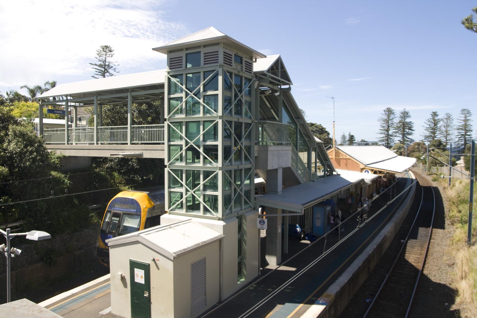
By train: Minnamurra is on the South Coast Line, a couple of stops north of Kiama. Transport NSW lists the station as unstaffed, with no Opal top-up or ticket sales, so load your Opal card or use a contactless card. It has bike racks and lockers and wheelchair ramp boarding assistance. Some intercity trains are longer than the platform, so listen for announcements. Check times on Transport NSW.
On foot: walk the Coast Walk North Section in reverse from Kiama, about 8.5 km.
Stay in Kiama, 11 minutes from Minnamurra
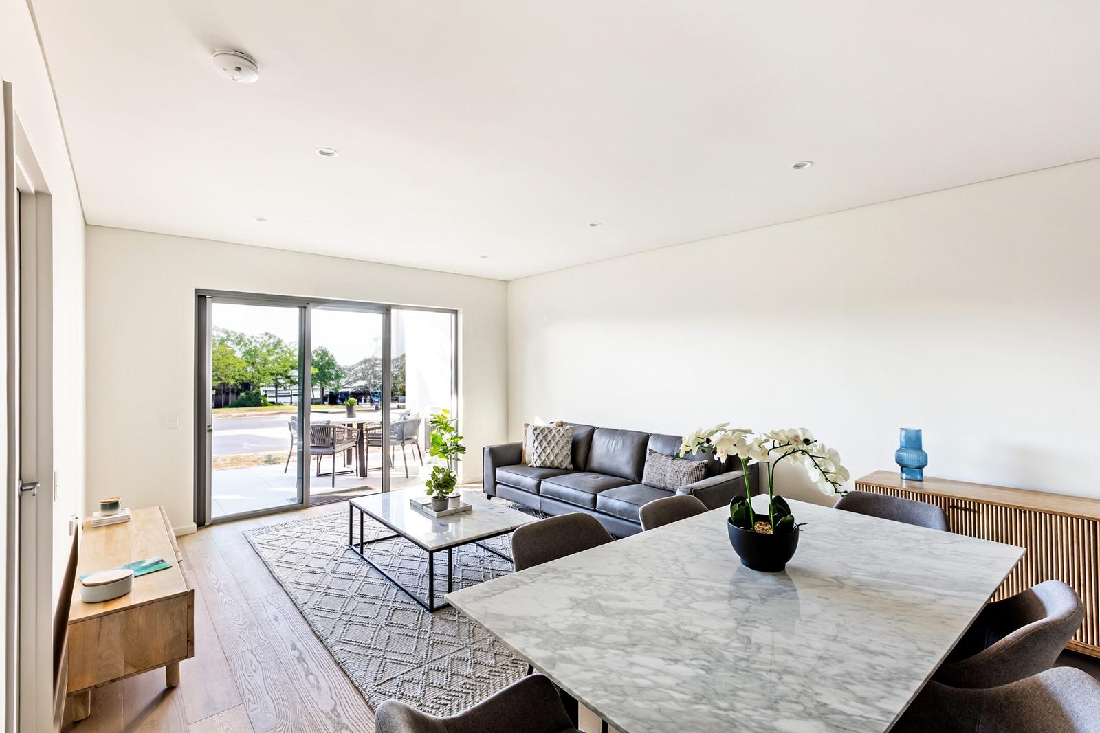
Kiama Ridge Waters sits in a quiet residential street at 2 Surfleet Place, Kiama, rather than on the water. Each of its three-bedroom apartments sleeps six, with two bathrooms, a laundry for wet towels and secure parking for two cars, so there is room for kayaks and beach gear. Easts Beach is a 15-minute walk and Kiama town centre about 27 minutes on foot.
Most of our apartments take pets on request, with a $200 pet cleaning fee, handy for the off-leash end of Jones Beach. Check-in is from 3pm and check-out is by 10am. Compare the apartments, read about family accommodation in Kiama or pet-friendly stays, book several apartments for a group, or check dates and book.
Quick answers
Can you swim in the Minnamurra River?
Yes. Destination Kiama calls the Minnamurra River a safe swimming spot, and James Oates Reserve gives easy access with toilets and showers. It is not patrolled. Stay away from the river mouth, where BeachSafe warns of strong river and tidal flows and a deep channel, and watch children closely.
Where can you launch a kayak at Minnamurra?
Kiama Council lists two ramps. James Oates Reserve, opposite 155 Charles Avenue at the river mouth, has a small ramp for kayaks, paddle boards and small boats. Trevethan Reserve, off Riverside Drive near Minnamurra Bridge, has the biggest ramp on the river and also suits kayaks and paddle boards.
Is Minnamurra Rainforest in Minnamurra?
No. The Minnamurra Rainforest Centre is at 345 Minnamurra Falls Road, Jamberoo, in Budderoo National Park, about 25 minutes' drive from Kiama Ridge Waters. It shares the name because the Minnamurra River flows through the rainforest before reaching the village. Check National Parks alerts before you go.
How do you get to Mystics Beach?
Mystics, also called Minnamurra Beach, is across the river from Minnamurra village, so you can't walk there from the village. BeachSafe says the only land access is through Killalea, to a car park above the northern end of the beach. It is unpatrolled and rated 6 out of 10 for hazard.
What does Minnamurra mean?
Destination Kiama says the name Minnamurra is believed to mean "plenty of fish" in the local Aboriginal language. Shell middens and stone tools found at the river mouth show it was a gathering place for the Dharawal people long before the village was built.
Is there a patrolled beach near Minnamurra?
Yes, Jones Beach at Kiama Downs, just south of Minnamurra Headland. Kiama Downs SLSC patrols on weekends and public holidays from 26 September to 25 April, with weekday patrols from 21 December to 29 January. The river and Mystics are unpatrolled.
How far is Minnamurra from Kiama?
Minnamurra is about 11 minutes and 8.6 km by car from Kiama Ridge Waters. You can also catch the train, as Minnamurra station is on the South Coast Line a couple of stops north of Kiama, or walk the 8.5 km North Section of the Kiama Coast Walk in about 3 hours.
Can you see whales at Minnamurra?
Yes. The free Minnamurra Whale Watching Platform on the headland is beside the Kiama Coast Walk. Humpbacks pass heading north from late May to July and return south, often with calves, from September to November. A sign on the platform helps you identify different whale species.
Sources and useful links
- Destination Kiama: Minnamurra
- Destination Kiama: Minnamurra River
- Destination Kiama: Minnamurra Beach
- Destination Kiama: Minnamurra Headland
- Destination Kiama: Kiama Coast Walk
- Visit NSW: Minnamurra River
- NSW Government: Minnamurra Whale Watching Platform
- Kiama Council: James Oates Reserve Boat Ramp
- Kiama Council: Trevethan Reserve Boat Ramp
- Kiama Council: Jones Beach dog off-leash area (southern end)
- Destination Kiama: Rangoon Island
- The Illawarra Flame: Wreck of the Rangoon
- Kiama Downs SLSC
- Kiama Council: beach patrol timetable 2026 to 2027
- Kiama Library: From source to sea heritage plaque
- BeachSafe (Surf Life Saving Australia): Minnamurra Beach
- BeachSafe (Surf Life Saving Australia): Jones/Boyds Beach
- NSW National Parks: Minnamurra Falls walk
- NSW National Parks: Budderoo National Park
- Transport NSW: Minnamurra Station
- Kiama Golf Club