
Check the Minnamurra River facts before you go
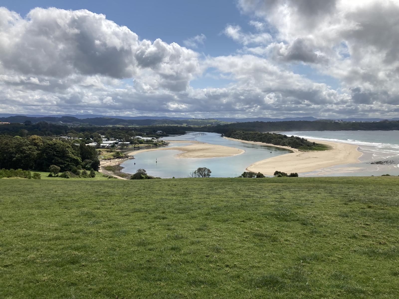
The river reaches the sea at Minnamurra village, just north of Kiama Downs. Destination Kiama describes it as a safe swimming spot with sandy shores and a "tidal personality", popular with kayakers and paddle boarders. Here are the official details in one place.
| Where | Minnamurra NSW 2533, the northern border of the Kiama area |
|---|---|
| Cost | Free |
| Type of water | Barrier river estuary with an average depth of about 1 metre (NSW Government estuary data) |
| Main access | James Oates Reserve, opposite 155 Charles Avenue, at the river mouth |
| Boat ramps | James Oates Reserve (small ramp) and Trevethan Reserve, off Riverside Drive just south of Minnamurra Bridge (largest ramp) |
| Facilities at James Oates Reserve | Parking, accessible toilet, showers, barbecues, picnic tables (some undercover) and a playground |
| Lifeguards | None. Beachwatch lists the river entrance as not patrolled |
| Water quality testing | Beachwatch tests the river entrance weekly from November to February |
| From Kiama Ridge Waters | About 11 minutes by car (8.6 km) to James Oates Reserve |
This page is about the water itself. For the village, the headland lookout and the Coast Walk start, read our Minnamurra village guide. For the waterfall and boardwalks upstream, see the Minnamurra Rainforest guide.
Swim in the shallows at James Oates Reserve
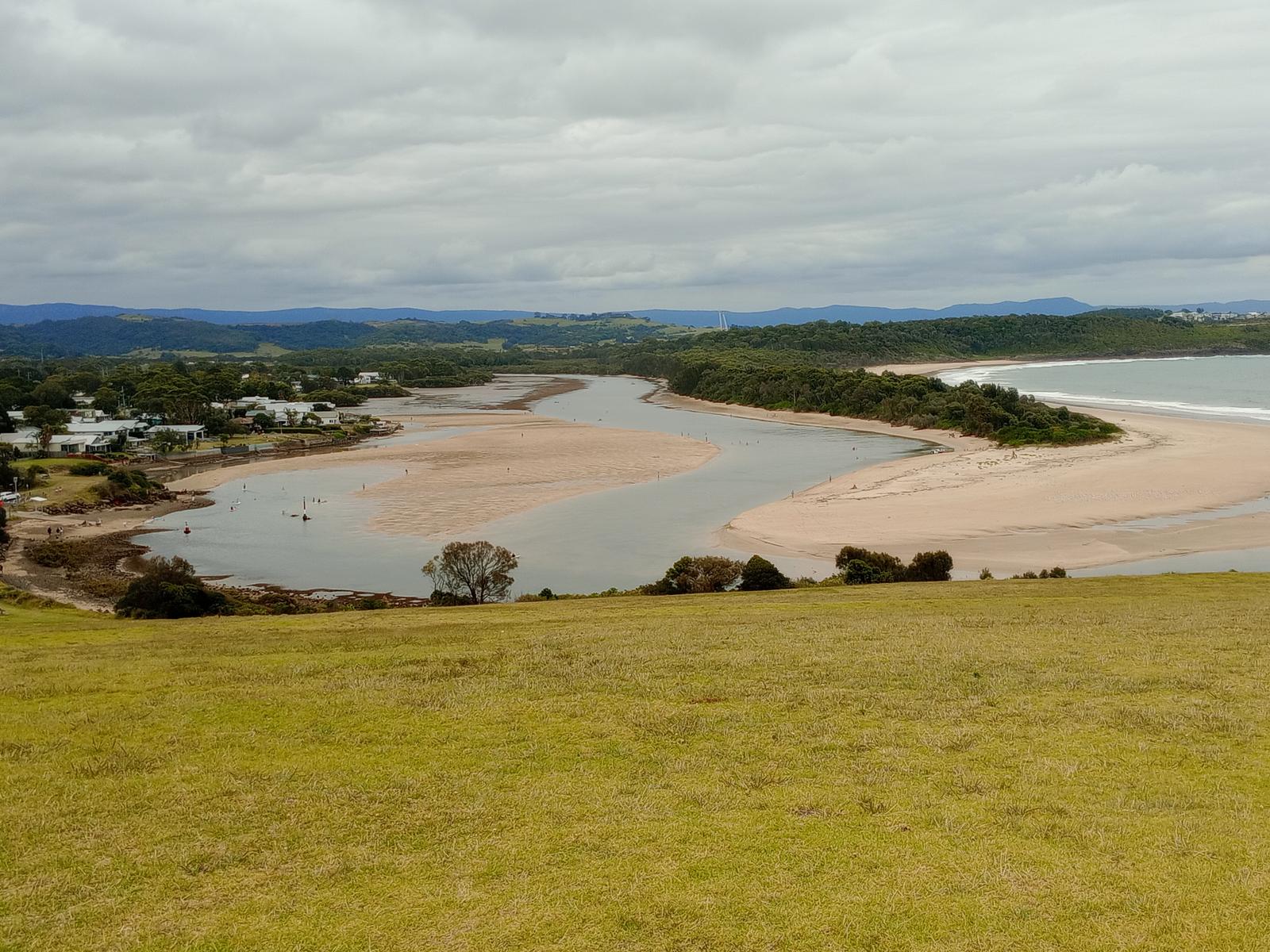
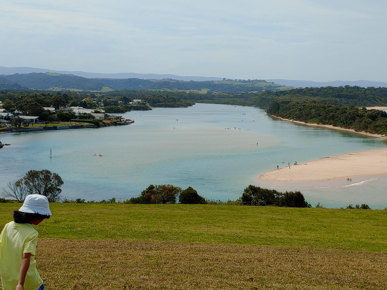
James Oates Reserve is where most families set up for the day. Kiama Council describes it as access to a popular swimming spot at the mouth of the river, with ample parking and showers to rinse off the sand. The water inside the entrance is sheltered from the surf, and at low tide wide sandbanks appear, so younger children can paddle in the shallows.
Destination Kiama also names the river mouth as a spot for snorkelling. Pick a calm day and keep to the sheltered side of the entrance.
Before you swim, check the latest result for the "Minnamurra River Estuary Entrance" site on Beachwatch. The same page shows the local tide times for the next few days, which helps you plan around low and high water.
For surf and lifeguards, head to Jones Beach at Kiama Downs, just south of the headland, or browse our Kiama beaches guide.
James Oates Reserve
Minnamurra
Riverside reserve at the river mouth with a small launch ramp for kayaks, paddle boards and small boats, plus parking, an accessible toilet, showers, barbecues and a playground. About 11 minutes' drive from the apartments.
WebsiteGoogle MapsDirections: Google Maps · Waze
Paddle the river by kayak or stand-up paddleboard
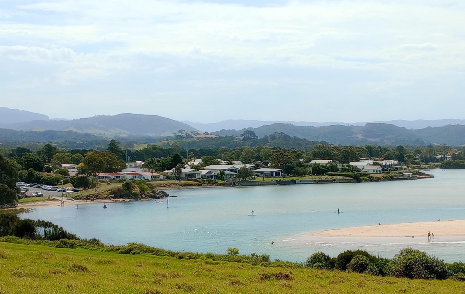
Flat, clear water makes the Minnamurra River one of the easiest paddles on this stretch of coast. Kiama Council lists two launch points:
- James Oates Reserve: a small ramp at the river mouth suited to kayaks, paddle boards and small boats.
- Trevethan Reserve: a one-lane ramp on the eastern side of Riverside Drive, just south of Minnamurra Bridge, which Council says is ideal for kayaks and paddle boards too.
From the mouth, Destination Kiama says you can paddle across to the southern end of Killalea and Mystics. Upstream, the estuary is lined with mangroves. Kiama Council's "From source to sea" heritage plaque says it holds the largest area of mangrove forest between the Georges River and the Shoalhaven River, along with swamp oak and coastal saltmarsh.
Let the tide do some of the work. NSW Government estuary data puts the local tidal range at about 1.4 metres, enough to make the trip home slow if you are fighting a run-out tide. Paddle against the flow first, so it carries you back, and stay well inside the entrance, away from the channel at the mouth.
We could not confirm a kayak or paddle board hire business operating on the river this season, so bring your own or ask the Kiama Visitor Information Centre (1300 654 262) who is hiring. The garage at our apartments fits two cars, with room for boards and kayaks.
Trevethan Reserve Boat Ramp
Minnamurra
The largest ramp on the Minnamurra River, one lane wide, just south of Minnamurra Bridge. Suits boats, kayaks and paddle boards, with picnic tables, some undercover. About 12 minutes' drive from the apartments.
WebsiteGoogle MapsDirections: Google Maps · Waze
Fish the estuary within the NSW rules
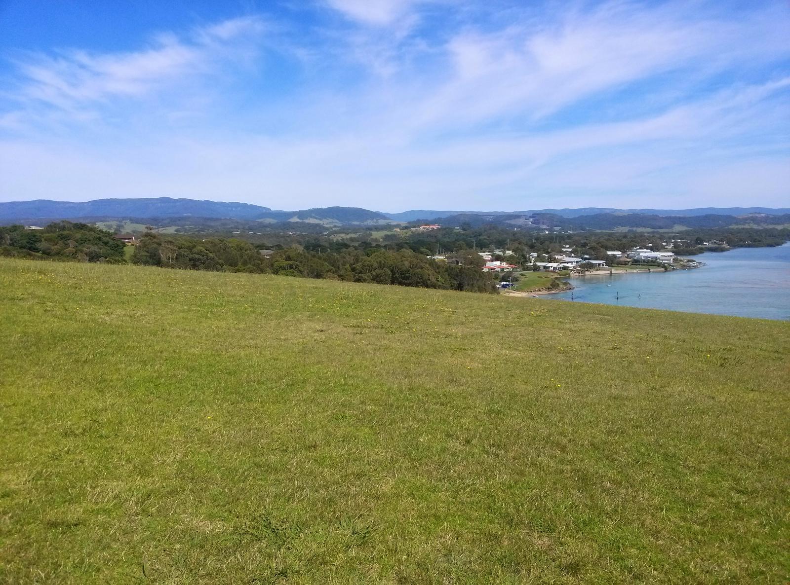
Minnamurra is said to mean "plenty of fish" in the local Aboriginal language, and the river still lives up to it. BeachSafe names the river mouth and Stack (Rangoon) Island as the top fishing spots on this part of the coast, and Destination Kiama lists fishing among the things to do at the mouth.
Know the rules before you cast:
- Licence: anyone 18 or over pays the NSW recreational fishing fee unless exempt. Service NSW lists $7 for 3 days, $14 for 1 month, $35 for 1 year and $85 for 3 years.
- Nets: NSW DPI closes the whole Minnamurra River and its tributaries, from source to sea, to all net fishing all year. The only exceptions are a dip or scoop net for prawns and a landing net.
- Bag and size limits: these apply to every catch. Check the current NSW DPI saltwater bag and size limits before you go, as they change.
Boaties can launch from Trevethan Reserve, which Council calls perfect for launching a boat to fish the river. Log on with Marine Rescue NSW before you head out. Our Kiama fishing guide covers the harbour, charters and rock fishing safety.
Respect the river mouth and the tide
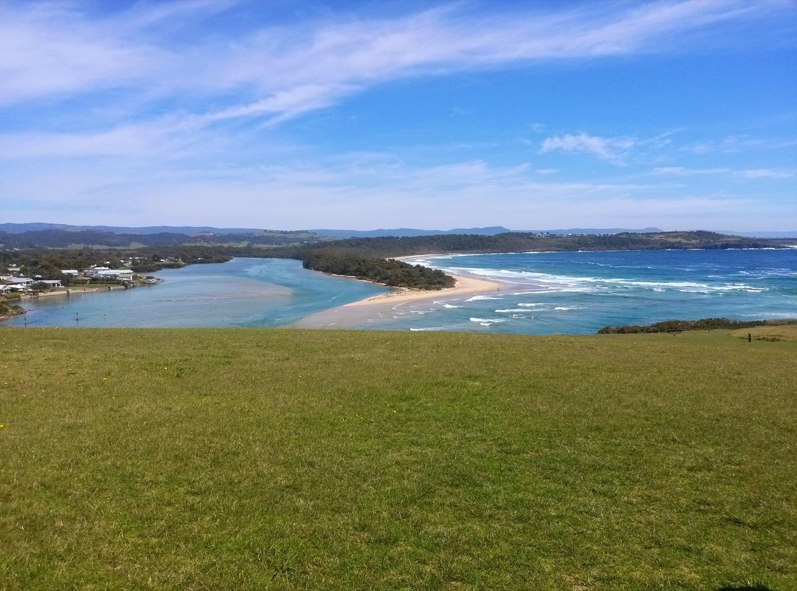
The river looks gentle, but the entrance is a different story. BeachSafe says the river flows out to sea through a permanent opening against Minnamurra Point and Stack Island, and warns against swimming at the river mouth because of strong river and tidal flows and a deep channel.
- Swim and paddle inside the entrance, on the sheltered sandbanks, not in the channel.
- No lifeguards patrol the river, so watch children at all times.
- Check the tide before you set out. A falling tide pulls water, and paddlers, towards the sea.
- Wear a lifejacket on kayaks and boards, and carry a phone in a waterproof pouch.
- On Minnamurra Beach across the mouth, BeachSafe lists rips, sharks and bluebottles as hazards and rates it 6 out of 10 for hazard.
For a check of the weather and swell before you drive up, see our Kiama weather guide.
Spread a picnic rug beside the water
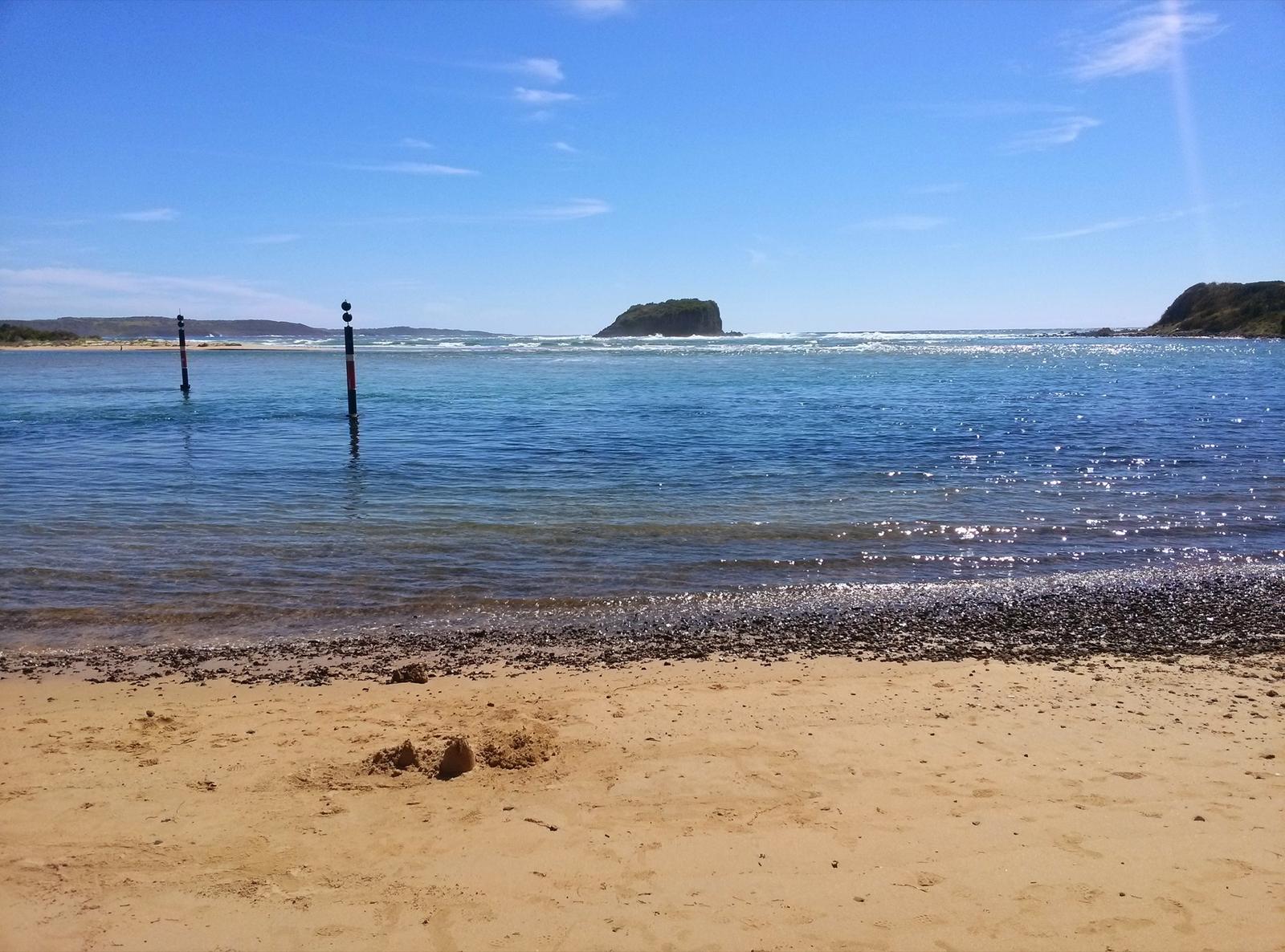
Destination Kiama suggests relaxing on the grassy hills beside the river with a picnic after a day on the water. James Oates Reserve has barbecues, undercover picnic tables and a playground, and Trevethan Reserve upstream has picnic tables and amenities in a quieter spot near the bridge.
For the view in the photo at the top of this page, walk up Minnamurra Headland off Eureka Avenue. It looks straight down on the river mouth, the sand spit and Stack Island. Our Minnamurra guide covers the headland, the whale watching platform and Mystics Beach on the far side of the river.
Follow the river from the rainforest to the sea
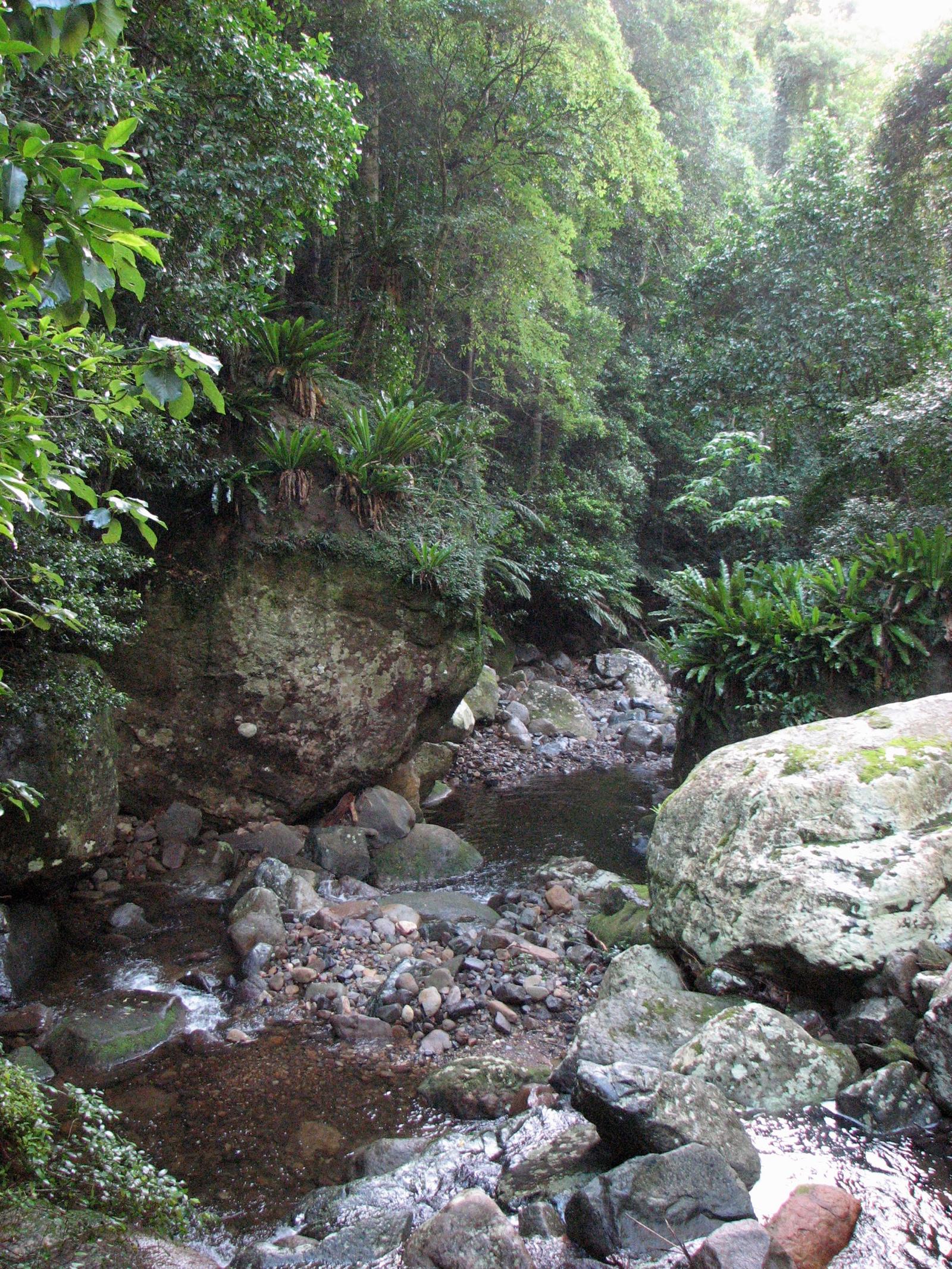
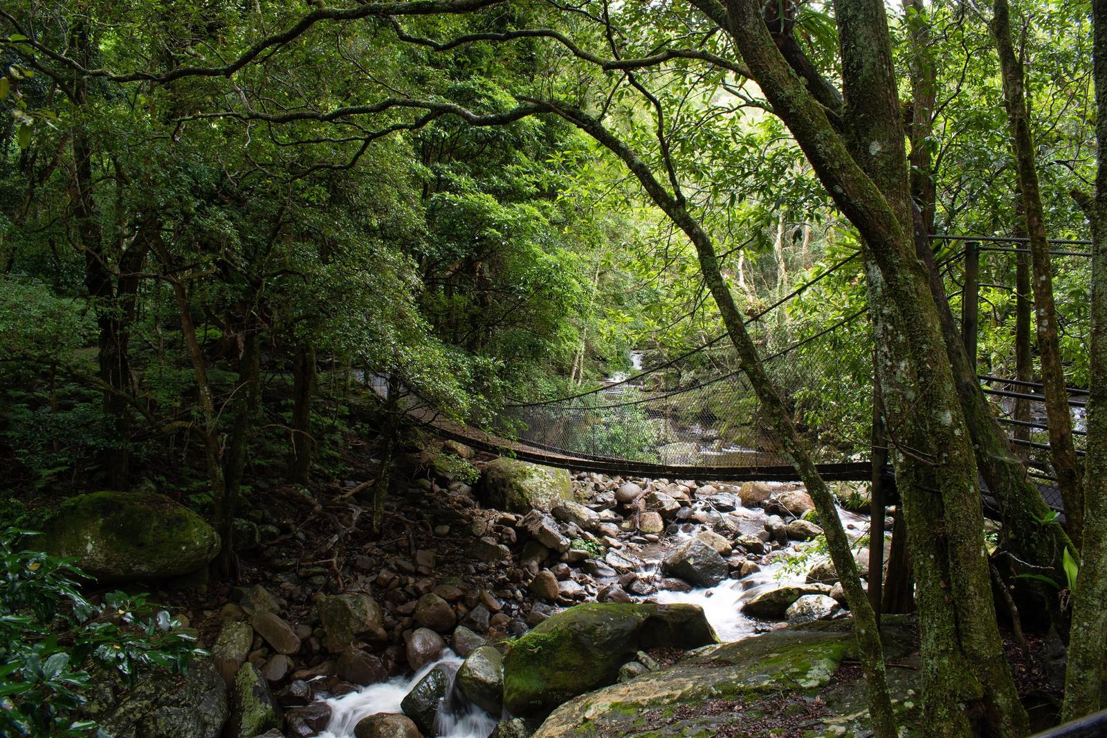
The Minnamurra is a short river with a lot of variety. Kiama Council's heritage plaque says it rises in the creeks and bogs of Knights Hill near Robertson, then runs through the Minnamurra Rainforest and the Jamberoo Valley to the sea. Its catchment covers almost half the Kiama municipality.
You can see both ends in a day. Start the morning on the boardwalks at the Minnamurra Rainforest in Budderoo National Park, then drive back down through Jamberoo for a swim at the mouth in the afternoon. Check National Parks alerts first, as the rainforest area has had closures. Swimming is not part of the rainforest visit, so stay out of the river up there and save your swim for the estuary.
Drive to the river from Kiama Ridge Waters
By car: about 11 minutes (8.6 km) to James Oates Reserve and 12 minutes (9.3 km) to Trevethan Reserve. Both have parking.
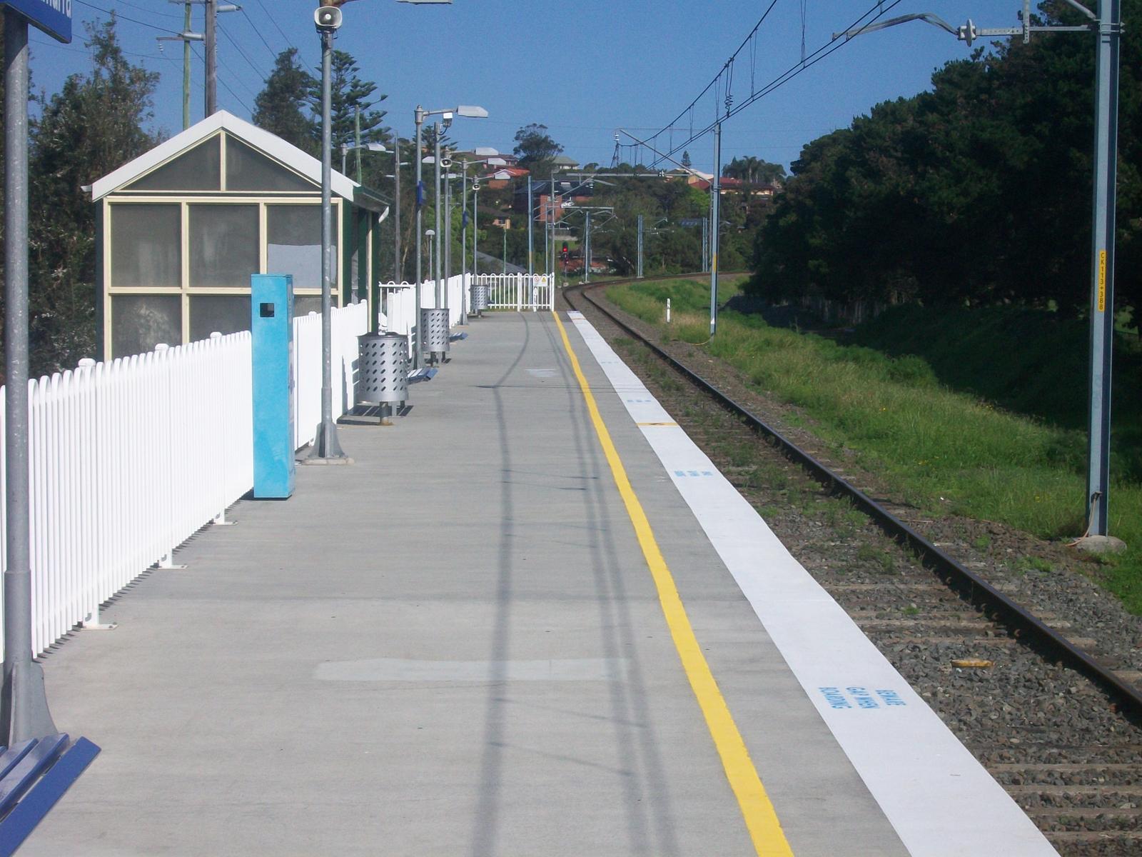
By train: Minnamurra station is on North Street, on the South Coast Line a couple of stops north of Kiama, and a short walk from the river. Check times on Transport NSW.
On foot: the North Section of the Kiama Coast Walk runs 8.5 km between the Kiama Blowhole and Minnamurra. Walk up, swim, and catch the train back.
Stay in Kiama and make the river your summer base
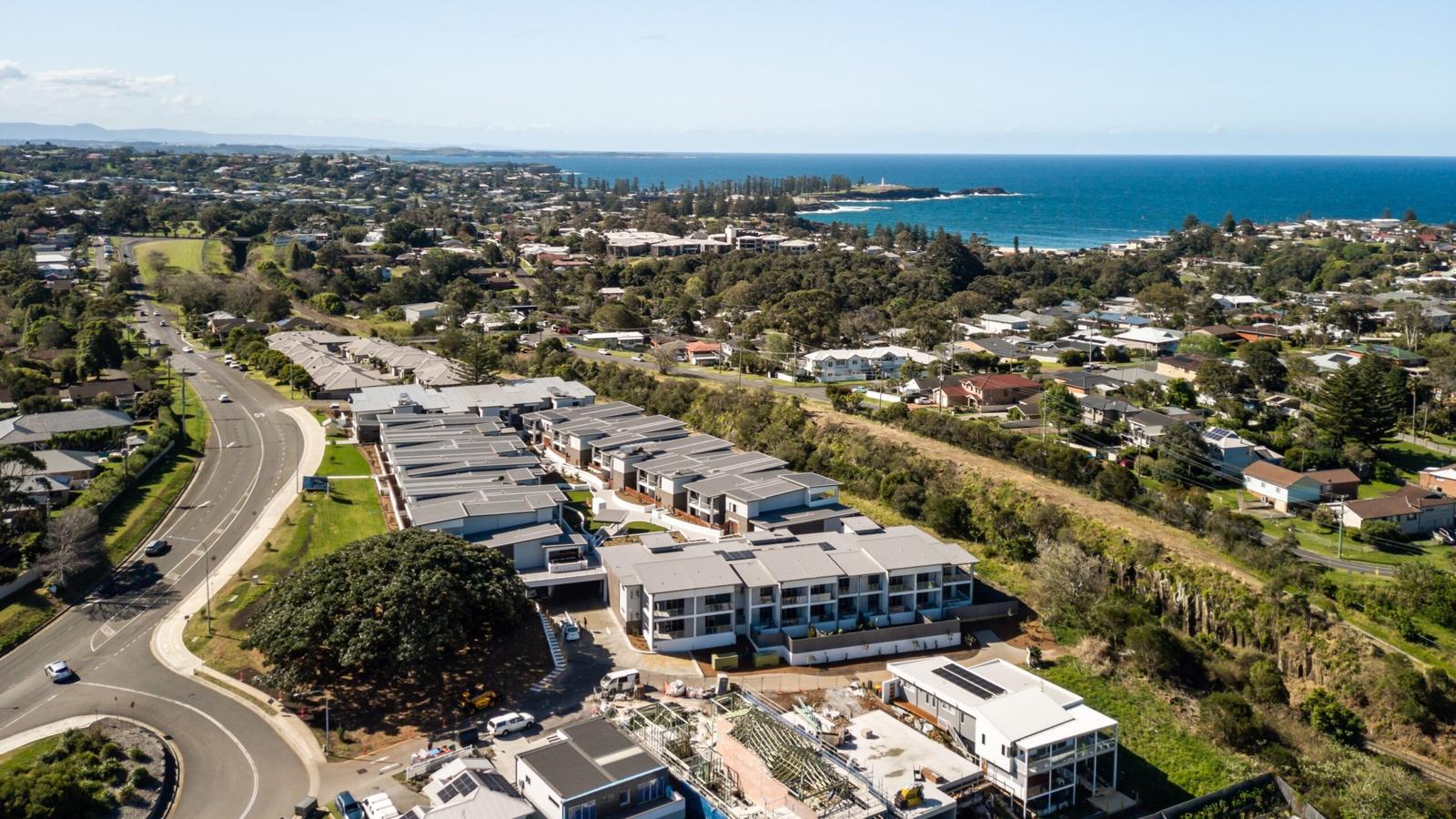
Kiama Ridge Waters sits in a quiet residential street at 2 Surfleet Place, Kiama, about 11 minutes' drive from the river. Each of its three-bedroom apartments sleeps six, with two bathrooms, a full kitchen for packing picnics, a laundry for wet towels and garage parking for two cars. Easts Beach is a 15-minute walk when you want surf closer to home.
Most of our apartments take pets on request, with a $200 cleaning fee. Check-in is from 3pm and check-out by 10am. Compare the apartments, see family stays in Kiama, book several apartments for a group, or check dates and book.
Quick answers
Is the Minnamurra River safe for swimming?
Destination Kiama calls it a safe swimming spot, and James Oates Reserve gives easy access to sheltered shallows. It is not patrolled, so watch children closely. Stay away from the river mouth, where BeachSafe warns of strong river and tidal flows and a deep channel.
Where do you launch a kayak on the Minnamurra River?
Kiama Council lists two ramps. James Oates Reserve, opposite 155 Charles Avenue at the river mouth, has a small ramp for kayaks, paddle boards and small boats. Trevethan Reserve, just south of Minnamurra Bridge, has the largest ramp on the river and suits kayaks and paddle boards too.
Can you hire a kayak or paddle board at Minnamurra?
We could not confirm a hire business operating on the river this season, so plan to bring your own. The Kiama Visitor Information Centre on 1300 654 262 can tell you who is hiring or running tours. Our apartments have garage parking for two cars, with room for boards.
Do you need a fishing licence on the Minnamurra River?
Yes, if you are 18 or over and not exempt. Service NSW sells the licence online from $7 for 3 days. NSW DPI also bans net fishing in the whole river all year, apart from a dip or scoop net for prawns and a landing net. Bag and size limits apply.
How deep is the Minnamurra River?
NSW Government estuary data gives the Minnamurra River an average depth of about 1 metre, with wide sandbanks exposed at low tide. It is deeper in the channel at the river mouth, which BeachSafe flags as a hazard because of strong river and tidal flows. Swim inside the entrance.
Is the Minnamurra River the same place as Minnamurra Rainforest?
The same river, but different places. The rainforest is upstream in Budderoo National Park near Jamberoo, about 25 minutes' drive from Kiama Ridge Waters. The swimming, paddling and fishing happen at the estuary in Minnamurra village, about 11 minutes' drive away. Many visitors combine both in one day.
How far is the Minnamurra River from Kiama?
James Oates Reserve at the river mouth is about 11 minutes and 8.6 km by car from Kiama Ridge Waters. You can also catch the train to Minnamurra station, a couple of stops north of Kiama, or walk the 8.5 km North Section of the Kiama Coast Walk.
Sources and useful links
- Destination Kiama: Minnamurra River
- Destination Kiama: Minnamurra (destination listing)
- Destination Kiama: Minnamurra town guide
- NSW Government: Minnamurra River
- NSW Environment and Heritage: Minnamurra River estuary
- Beachwatch NSW: Minnamurra River Estuary Entrance
- BeachSafe (Surf Life Saving Australia): Minnamurra Beach
- Kiama Council: James Oates Reserve Boat Ramp
- Kiama Council: Trevethan Reserve Boat Ramp
- Kiama Library: From source to sea heritage plaque
- NSW DPI: Minnamurra River fishing closure
- NSW DPI: Saltwater bag and size limits
- Service NSW: Recreational fishing licence
- Marine Rescue NSW: Log on and log off
- Transport NSW: Minnamurra Station
- Destination Kiama: Kiama Coast Walk
- NSW National Parks: Budderoo National Park alerts