
Check the Grand Pacific Drive facts before you set off
The Grand Pacific Drive is the signposted coastal way south from Sydney. It trades motorway speed for sea cliffs, beach villages and lookouts. Here is the route at a glance.
| Length | About 140 km, from Royal National Park to the Shoalhaven |
|---|---|
| Where it starts | Royal National Park, about 45 minutes south of the Sydney CBD |
| Signs to follow | Brown and white Grand Pacific Drive signposts, from Royal National Park to Nowra |
| Sydney to Kiama Ridge Waters on the coast route | About 2 hours 45 minutes (148 km) without stops |
| Sydney to Kiama Ridge Waters on the M1 | About 1 hour 45 minutes (134 km) without stops |
| Royal National Park fee | $12 per vehicle per day if you stop (check current fees) |
| Royal National Park hours | 7am to 8.30pm, with closures in bad weather or high fire danger |
| Sea Cliff Bridge | 665 metres long, opened December 2005, free to walk |
| Road conditions | Live Traffic NSW before you leave |
Fees, park hours and road conditions change, so check before you go.
Follow the route stop by stop
Each leg runs from Sydney Town Hall to our apartments at 2 Surfleet Place, Kiama, along the roads below. The times are for clear roads with no stops, so add time for traffic, parking and photos. Summer weekends and public holidays are the slowest.
| Leg | Drive time | Distance |
|---|---|---|
| Sydney Town Hall to Royal National Park Visitor Centre, Audley | 45 min | 35.4 km |
| Audley through the park to Otford Lookout | 34 min | 30.2 km |
| Otford Lookout to Bald Hill Lookout, Stanwell Tops | 3 min | 2.3 km |
| Bald Hill to the Sea Cliff Bridge | 6 min | 5.6 km |
| Sea Cliff Bridge to Austinmer Beach | 9 min | 7.4 km |
| Austinmer to Wollongong Harbour | 22 min | 16.0 km |
| Wollongong Harbour to Shellharbour Village | 31 min | 35.0 km |
| Shellharbour Village to Kiama Ridge Waters | 13 min | 15.9 km |
| Total | 2 hr 43 min | 147.9 km |
Once you leave the motorway at the park, the drive stays slow and scenic. If you only want the quickest trip, read our Sydney to Kiama guide for the M1, the train and the coach.
Start in Royal National Park
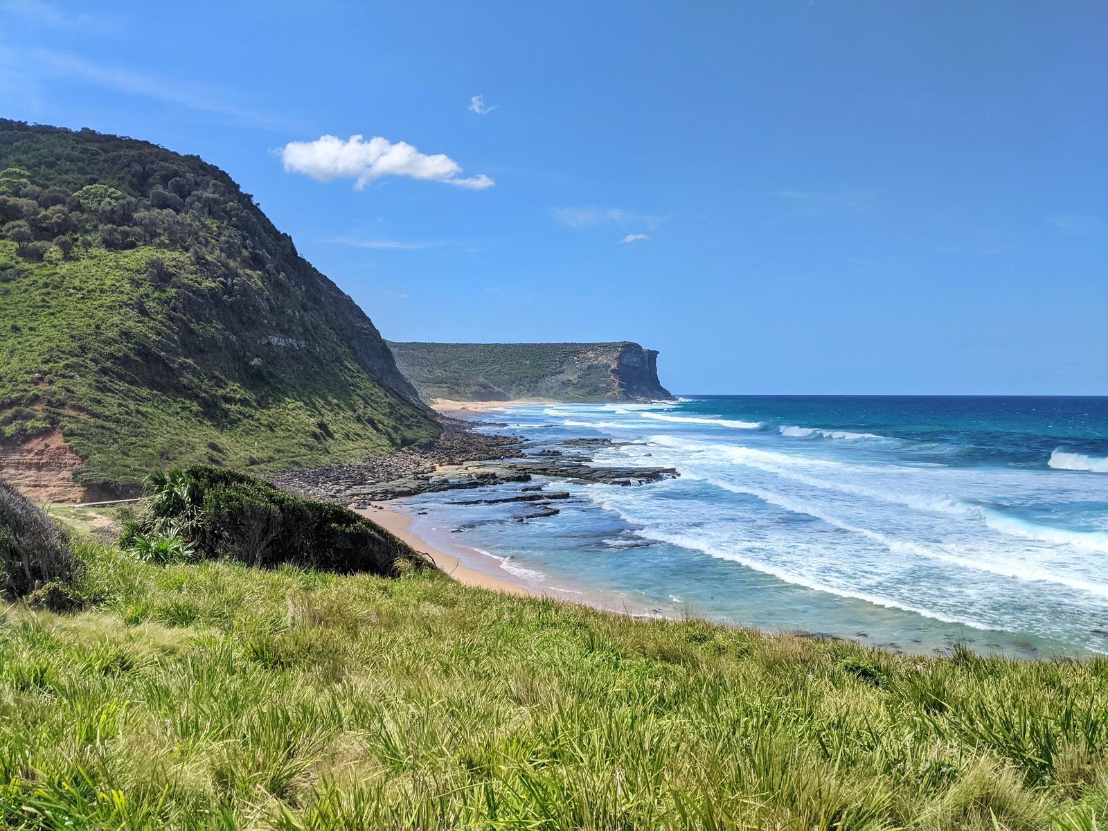
The drive begins in Royal National Park, one of the oldest national parks in the world. You can enter from the Princes Highway at Farnell Avenue, just south of Loftus, or at McKell Avenue, Waterfall. The road then winds through bush and heath before coming out at Otford.
The fee. NSW National Parks lists vehicle entry at $12 per vehicle per day, with a per-person rate for vehicles over 8 seats. Destination Wollongong says driving straight through is free and the fee applies if you stop, so pay at the entry station, a pay machine or the Park'nPay app before you park. Check current fees before you go.
Hours and closures. The park is open 7am to 8.30pm and can close in poor weather or high fire danger. NSW National Parks warns of traffic delays on summer weekends and public holidays, so check the park alerts on the morning you leave.
Where to stop. The Royal National Park Visitor Centre at Audley opens 8.30am to 4.30pm daily (closed Christmas Day), and toilets are at the visitor centre and many picnic areas. Side roads lead down to beaches such as Garie, a good first swim if the surf suits.
Stop at Bald Hill Lookout above Stanwell Park
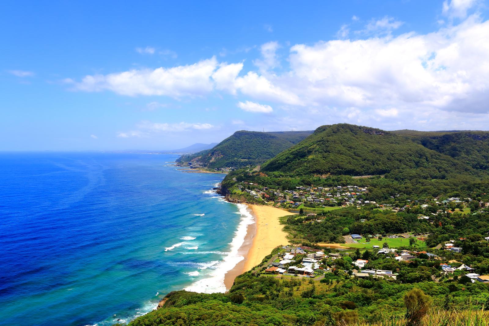
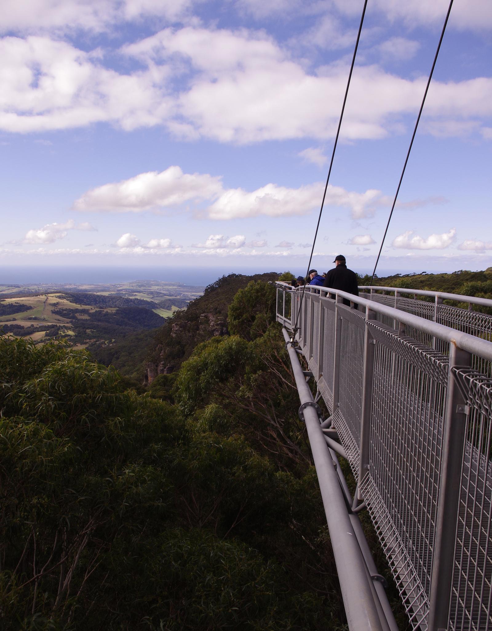
Just past Otford Lookout, Bald Hill Lookout at Stanwell Tops is the view everyone pulls over for. It looks south over Stanwell Park beach and the Sea Cliff Bridge towards Wollongong. Destination Wollongong calls it an internationally known hang-gliding point, and on a good day you will see gliders launching off the hill.
The hill is part of aviation history too. Lawrence Hargrave, an Australian pioneer of flight, made a successful flight from the beach below on 12 November 1894, and a memorial cairn to him stands at the top. There is a car park with coach bays, the Flying High Cafe for takeaway coffee and food, and public toilets, according to Wollongong City Council's plan of management for the reserve.
Walk the Sea Cliff Bridge
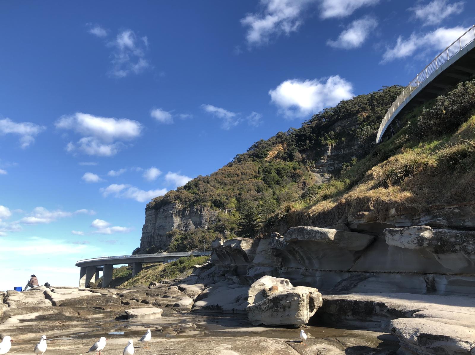
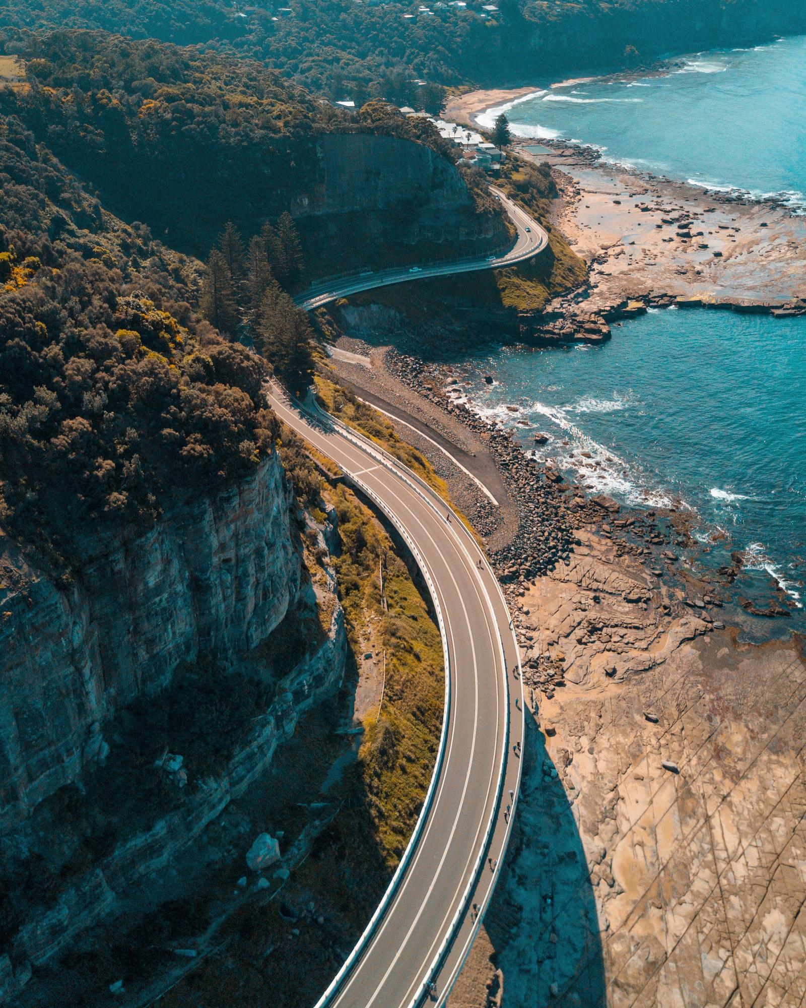
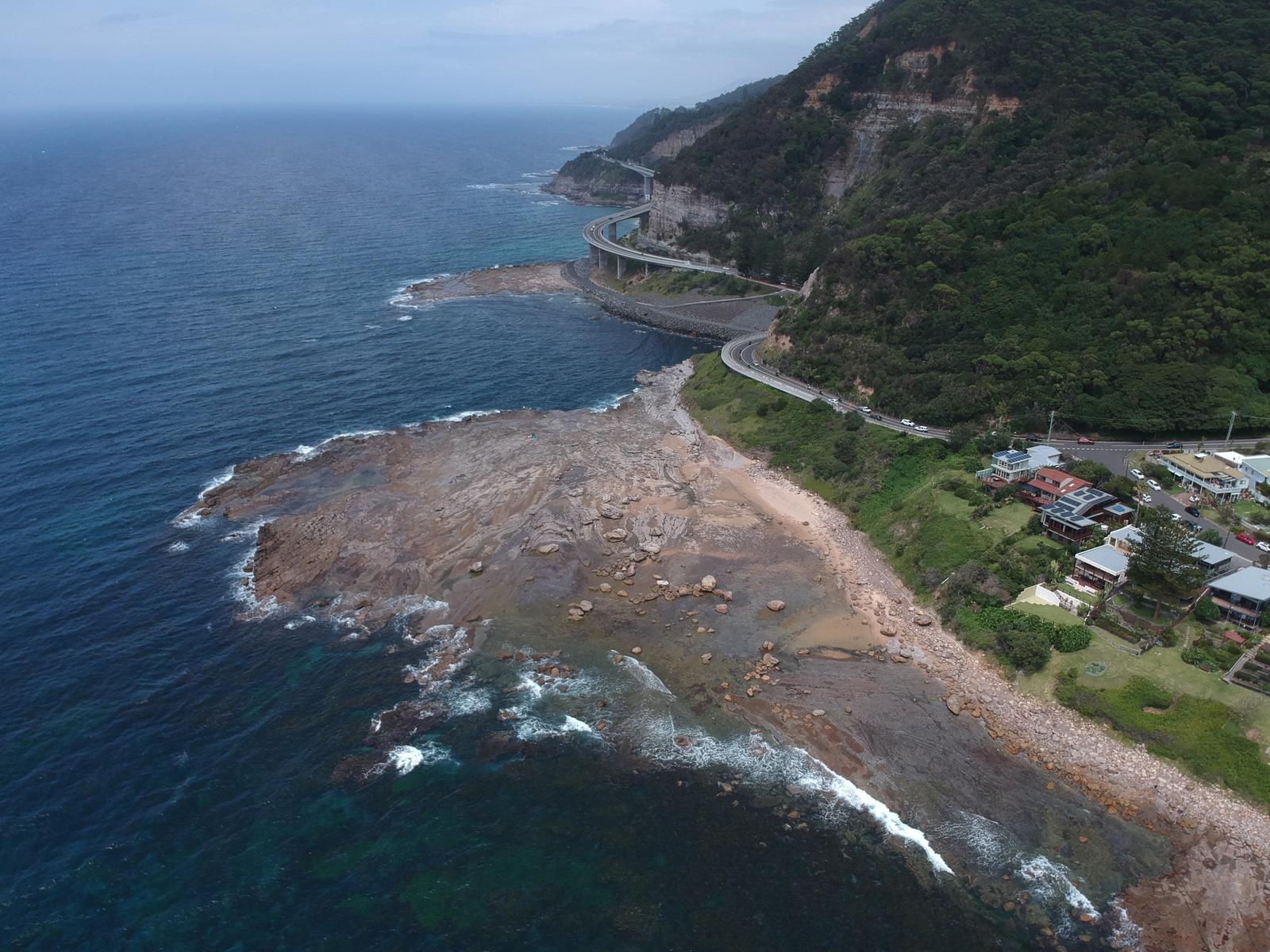
The Sea Cliff Bridge is the reason most people choose this route. The 665-metre bridge carries Lawrence Hargrave Drive out over the ocean between Coalcliff and Clifton, and it opened in December 2005. Entry is free, and the NSW Government says it welcomes people with access needs.
Don't just drive across it. Destination Wollongong says to park in one of the designated car parks and walk the bridge:
- North of the bridge: parking at Leeder Park or Coalcliff Beach.
- South of the bridge: limited parking in a southbound bay just past the bridge, or near the Clifton School of Arts.
- By train: Coalcliff station is about an 800-metre walk to the start of the bridge, with a steep incline.
The bridge doubles as a viewing platform for migrating whales, so bring binoculars in the cooler months. Our whale watching guide covers the season and the spots around Kiama.
Swim at the northern Illawarra beaches
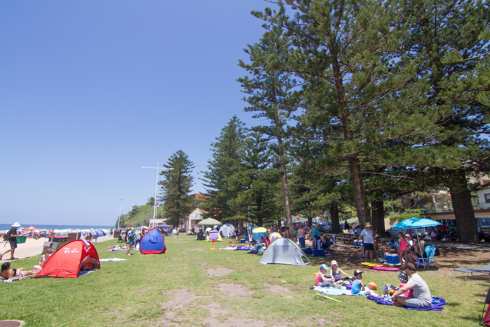
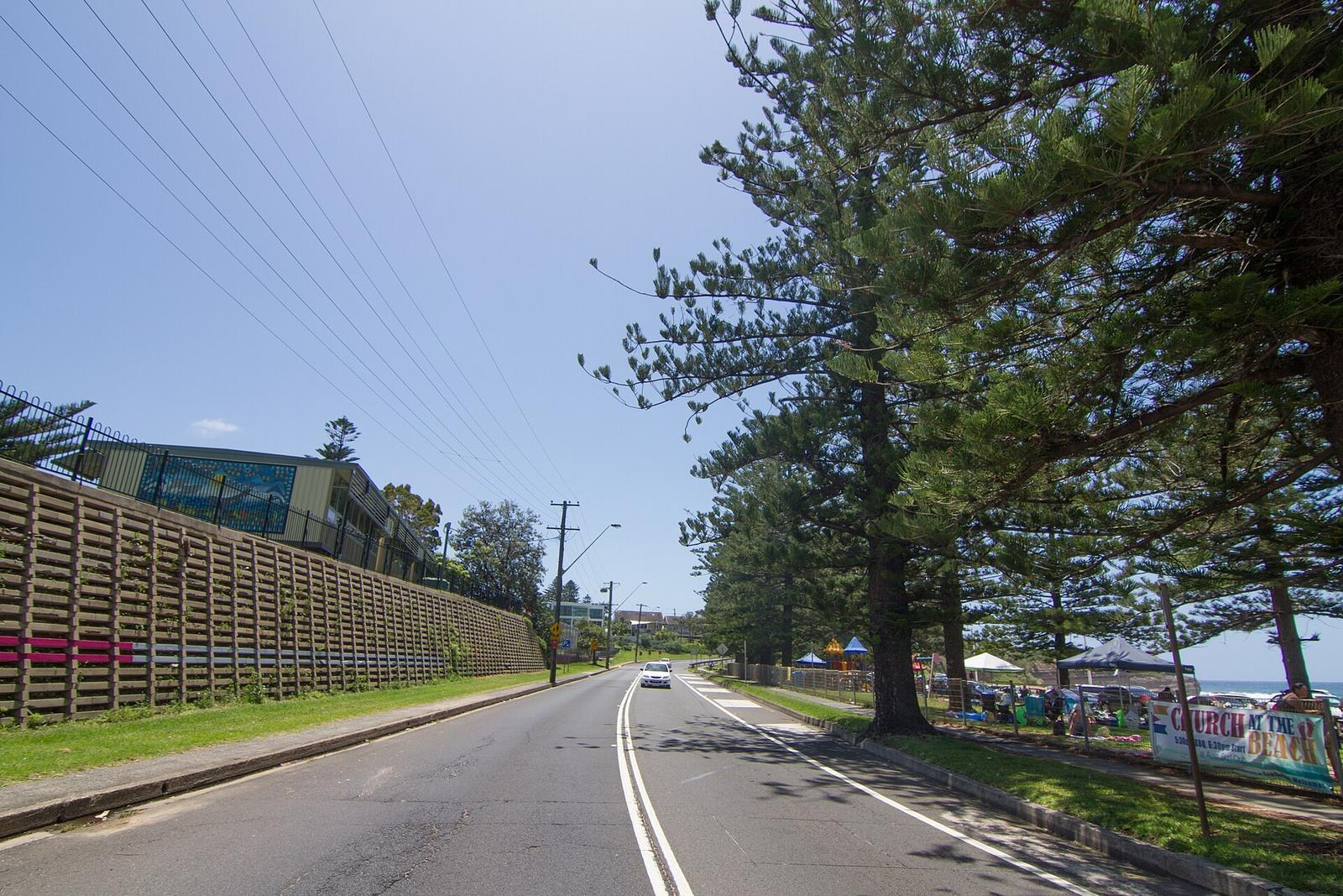
South of the bridge the road passes a string of small beach villages: Clifton, Scarborough, Wombarra, Coledale, Austinmer and Thirroul. Each has a beach right below the road, so pick the one that looks calmest on the day.
- Austinmer: twin ocean rock pools at the southern end of the beach, overlooked by a historic pavilion, with shady pines and grass behind the sand.
- Thirroul: about a kilometre of beach, plus a 50-metre saltwater lap pool and a toddlers' pool.
Swim between the flags when the beaches are patrolled, and check conditions on BeachSafe first. Rock pools can take waves over the wall in a big swell.
Break for lunch in Wollongong
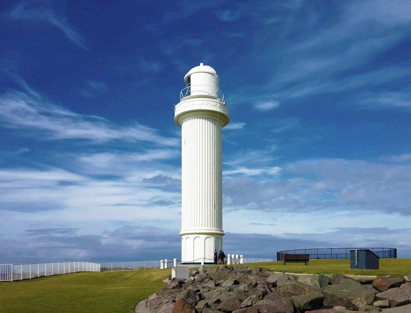
Wollongong is the natural lunch stop, about halfway between Sydney and Kiama. Destination Wollongong counts 17 patrolled beaches in the area. Head for the harbour, where Flagstaff Hill has two lighthouses: the old Breakwater lighthouse, out of service since 1974, and the larger Flagstaff Point lighthouse, which is still working.
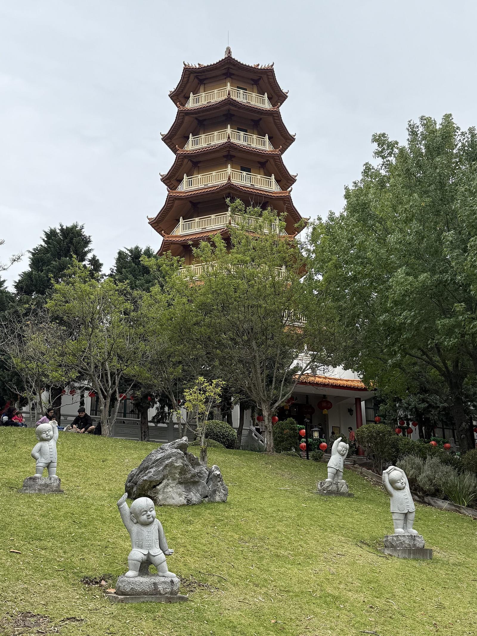
With an extra hour, detour to Nan Tien Temple at Berkeley, which Destination Wollongong describes as the largest Buddhist temple in the Southern Hemisphere. It is about 18 minutes (11.5 km) from the harbour, then about 26 minutes (27.5 km) on to Shellharbour Village. Check the temple's visiting hours before you go.
Finish through Shellharbour into Kiama
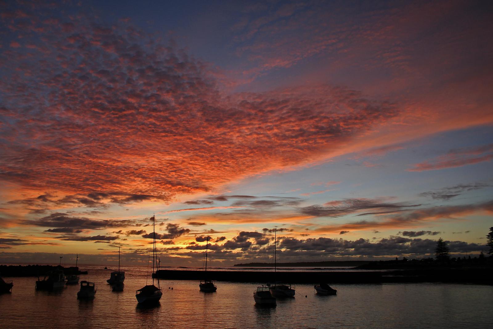
South of Lake Illawarra, the drive reaches Shellharbour. The village on Addison Street has cafes and fish and chips, the Beverley Whitfield Ocean Pool (with toilets) sits on the foreshore, and Bass Point and Killalea are a few minutes away. Our Shellharbour guide has the details.
From Shellharbour Village it is about 13 minutes (15.9 km) to Kiama Ridge Waters. If there is light left, go straight to the Kiama Blowhole, about 5 minutes' drive from the apartments. Beyond Kiama, the Grand Pacific Drive keeps going through Gerringong and Seven Mile Beach to the Shoalhaven, which makes Kiama a handy base for the southern half.
Drive it in one day
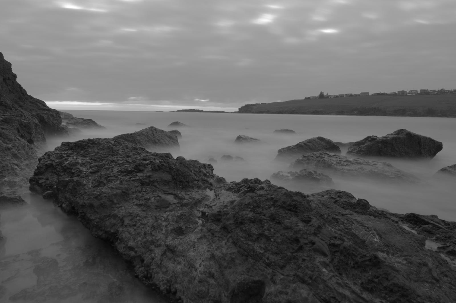
If you have one day, leave early and keep the stops short. This plan arrives in time for check-in at 3pm and a swim before dinner.
- 8am: leave Sydney and drive about 45 minutes to Royal National Park.
- 9am: coffee and a short walk around Audley, or a quick look at a beach, then drive through the park to Otford.
- 10.30am: Bald Hill Lookout for the view and the hang gliders.
- 11am: park at Leeder Park or Coalcliff Beach and walk the Sea Cliff Bridge.
- Midday: a swim or a rock pool dip at Austinmer or Thirroul.
- 1pm: lunch at Wollongong Harbour and a walk up to the lighthouse.
- 2.30pm: drive on through Shellharbour.
- 3.15pm: check in at Kiama Ridge Waters, then walk 15 minutes to Easts Beach.
Spread it over two days
Two days lets you walk, swim and eat without watching the clock. Base yourself in Kiama for both nights and do the northern half on the way down.
Day 1, Sydney to Kiama: Royal National Park in the morning, a longer stop at Bald Hill and the Sea Cliff Bridge, a slow lunch at Austinmer or Thirroul, then Wollongong Harbour and Nan Tien Temple in the afternoon. Arrive at Kiama Ridge Waters from 3pm and get fish and chips for dinner. See fish and chips in Kiama.
Day 2, Kiama and the southern stretch: drive north 13 minutes to Shellharbour and snorkel Bushrangers Bay at Bass Point in the morning. Come back for the Blowhole and the harbour, then drive up to Saddleback Mountain for sunset over Kiama, Gerringong and Jamberoo.
Plan your fuel, toilets, lookouts and road checks
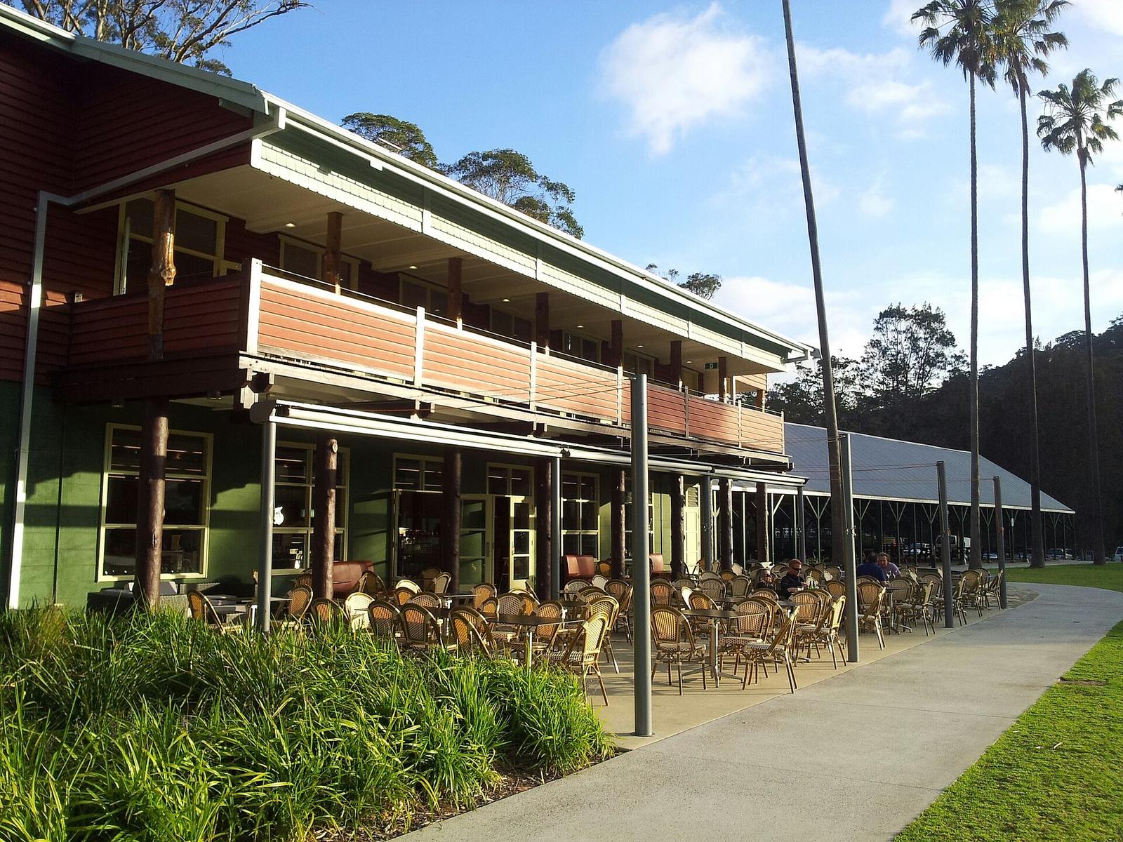
Fuel: start with a full tank. The road through Royal National Park is bush, and you will find service stations in the towns once you are down in the Illawarra.
Toilets: the Royal National Park Visitor Centre and many picnic areas in the park, Bald Hill Lookout, the Beverley Whitfield Ocean Pool at Shellharbour, and the always-open toilets at Kiama Blowhole.
Lookouts: Otford Lookout, Bald Hill Lookout, the Sea Cliff Bridge footpath, Flagstaff Point in Wollongong and, at the end, Blowhole Point and Saddleback Mountain in Kiama. See our Kiama lookouts guide.
Closures: Lawrence Hargrave Drive sits under a cliff, and the old road was closed by rock falls before the bridge was built. Repair work and lane or night closures still happen. Check Live Traffic NSW or its app before you set out, and the Royal National Park alerts for park closures. If the coast road is shut, the M1 is the fallback.
Head home on the M1
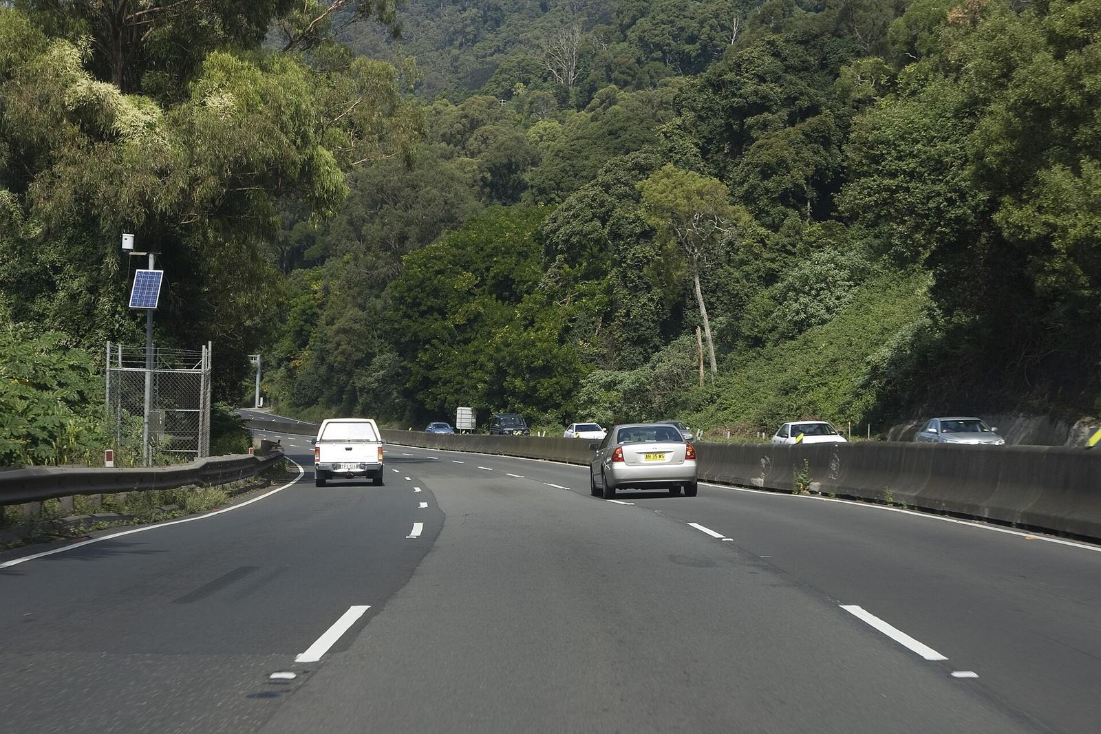
The coast is for the trip down. For the trip back, the M1 Princes Motorway is the quick route: about 1 hour 45 minutes (134 km) from Kiama Ridge Waters to Sydney Town Hall on clear roads. Sunday afternoons and the end of school holidays are slower, so leave after the 10am check-out and stop for lunch on the way, or head off after dinner.
For a different way home, the Grand Pacific Drive site suggests returning through the Southern Highlands. From Kiama, Destination Kiama's Tourist Drive 9 takes about two hours via Jamberoo, Minnamurra Rainforest and Jamberoo Mountain Road to Robertson. For more ideas, see day trips from Kiama.
Stay at the end of the drive in Kiama
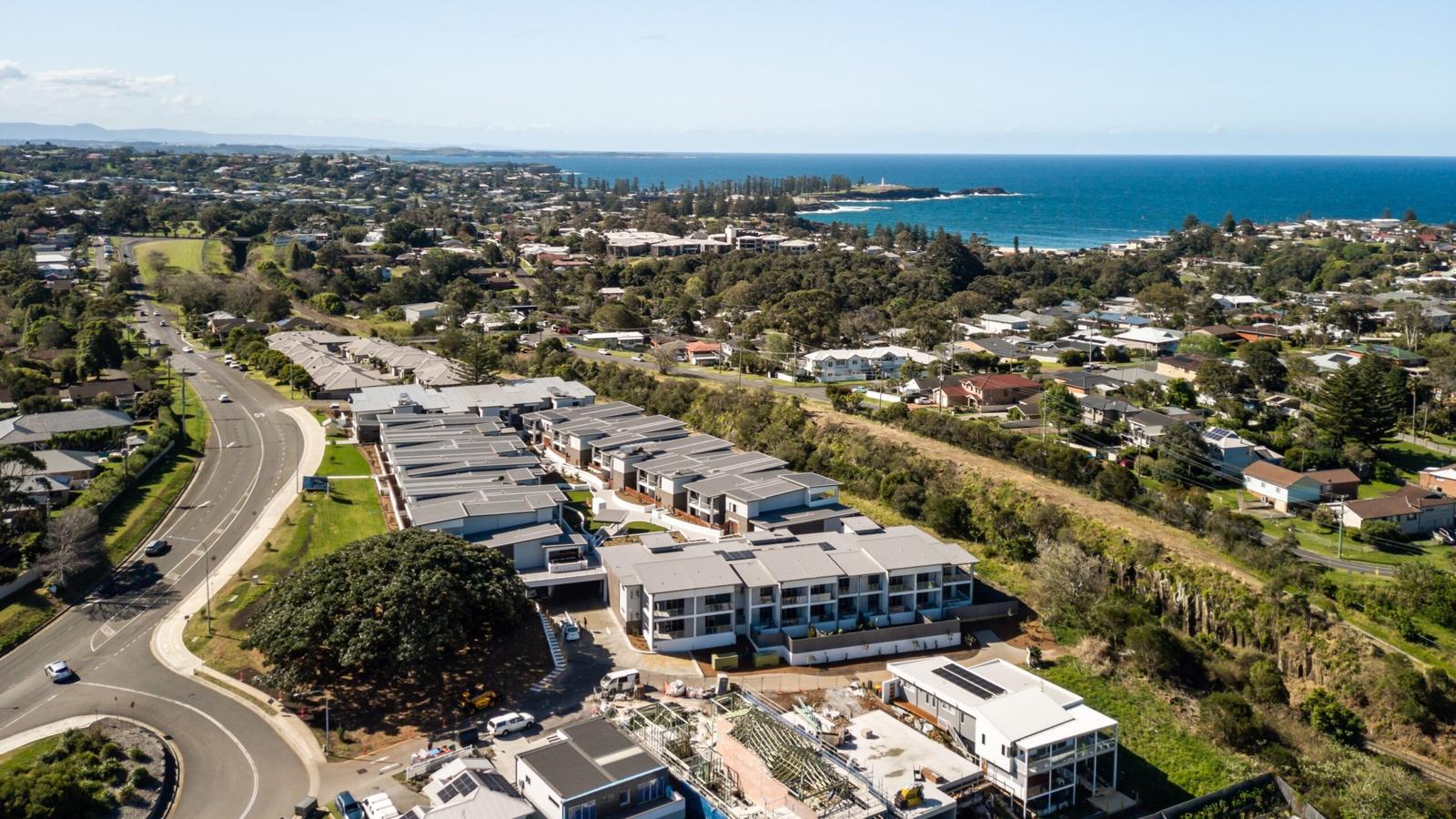
End the drive at Kiama Ridge Waters, put the car away in your own two-car garage and unpack. Each of our three-bedroom apartments at 2 Surfleet Place sleeps six, with two bathrooms, a full kitchen and a laundry. Easts Beach is a 15-minute walk away, and the Kiama Blowhole is about 35 minutes on foot.
Most of our apartments welcome pets on request, with a $200 cleaning fee. Check-in is from 3pm and check-out is by 10am. See our three-bedroom apartments in Kiama, weekend stays in Kiama, pet-friendly stays and group bookings, or check availability.
Quick answers
How long does the Grand Pacific Drive take from Sydney to Kiama?
Without stops, the route from Sydney Town Hall through Royal National Park, over the Sea Cliff Bridge and through Wollongong to Kiama Ridge Waters takes about 2 hours 45 minutes (148 km). With lookouts, a walk on the bridge, a swim and lunch, allow a full day.
Do you have to pay to drive through Royal National Park?
NSW National Parks lists a $12 per vehicle per day entry fee. Destination Wollongong says driving straight through is free and the fee applies if you stop. Pay at an entry station, a pay machine or the Park'nPay app before parking, and check current fees before you go.
Where do you park to walk the Sea Cliff Bridge?
Destination Wollongong lists parking north of the bridge at Leeder Park or Coalcliff Beach, plus limited parking in a southbound bay just south of the bridge or near the Clifton School of Arts. Coalcliff station is about 800 metres from the bridge, up a steep incline.
How long is the Sea Cliff Bridge?
The Sea Cliff Bridge is 665 metres long and opened in December 2005. It carries Lawrence Hargrave Drive out over the ocean between Coalcliff and Clifton, with a footpath on the seaward side. Entry is free, and it is about 53 minutes' drive north of Kiama Ridge Waters.
Where does the Grand Pacific Drive start and finish?
It starts in Royal National Park, about 45 minutes south of the Sydney CBD, and runs about 140 km through Wollongong, Shellharbour and Kiama to the Shoalhaven. Brown and white signs mark the route to Nowra. From there you can keep going south or head inland.
What is the fastest way back to Sydney from Kiama?
Take the M1 Princes Motorway. It is about 1 hour 45 minutes (134 km) from Kiama Ridge Waters to Sydney Town Hall on clear roads. Allow longer on Sunday afternoons and at the end of school holidays.
How do I check if Lawrence Hargrave Drive is closed?
Check Live Traffic NSW or its app on the morning you leave, as the cliff road has had repair work and lane closures. Also check the Royal National Park alerts on the NSW National Parks website, because the park can close in bad weather or high fire danger.
Sources and useful links
- Grand Pacific Drive (official site)
- Grand Pacific Drive: Explore
- Destination Wollongong: Grand Pacific Drive (signposts, park fee, Sea Cliff Bridge parking)
- Destination Wollongong: Sea Cliff Bridge
- Destination Wollongong: Bald Hill Lookout
- Destination Wollongong: Austinmer Rock Pool
- Destination Wollongong: Wollongong Harbour and Lighthouse
- NSW Government: Sea Cliff Bridge
- Visit NSW: Bald Hill Lookout
- Visit NSW: Thirroul
- Visit NSW: Grand Pacific Drive
- NSW National Parks: Royal National Park (fees, hours, alerts)
- NSW National Parks: Royal National Park visitor info
- Wollongong City Council: Stanwell Park Reserve and Bald Hill Lookout Plan of Management 2021
- Transport for NSW: Live Traffic NSW
- Destination Kiama: Grand Pacific Drive and other touring
- Destination Kiama: Getting here
- Drive times: Valhalla routing (OpenStreetMap) from -34.6884, 150.8466